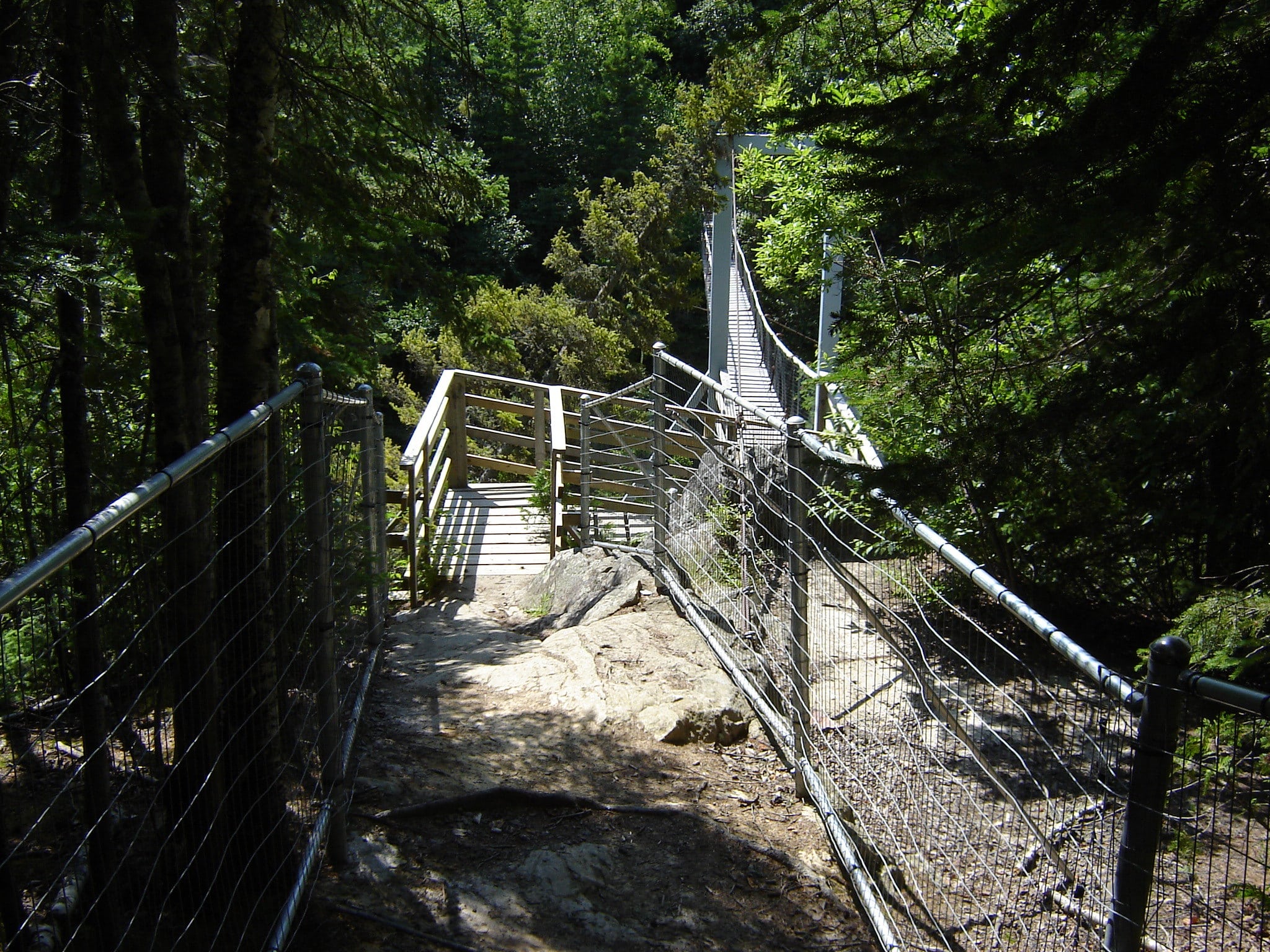
Pukaskwa National Park
Located along the shores of Lake Superior in Ontario, Pukaskwa National Park combines the true wilderness of rural Canada with the culture of the Anishinaabe First Nations people. Tracts of windswept spruce and pine trees reach to the sky from towering cliffs and along secluded sandy beaches.
VISIT Pukaskwa National Park:
Park Details
Pukaskwa National Park was established in 1978, and has a total area of 464,000 acres (725 square miles, or 1,879 square kilometers).
| Address | Hwy 627, Heron Bay, ON, P0T 1R0 |
|---|---|
| Phone | 807-229-0801 |
| Hours | The park is open year-round, but only with road access from May through October. |
| Entrance Fee | Free to $7, depending on age |
| Learn More | Official Website |
When to Visit: Weather vs. Peak Visitation
We crunched 30 years of historical weather and/or park service data to find the best months to visit Pukaskwa National Park. We looked for the optimal temperatures, the least amount of snow and rain, and stayed away from peak visitation months if we could help it. All this data then helped us paint a picture as to what the absolute best time to visit Pukaskwa National Park is.
Our data shows the best months to visit Pukaskwa National Park are August, May, June & July.
| Jan | Feb | Mar | Apr | May | Jun | Jul | Aug | Sep | Oct | Nov | Dec | |
|---|---|---|---|---|---|---|---|---|---|---|---|---|
| Park Visits | data unavailable | |||||||||||
| Precipitation | 42 | 29 | 47 | 63 | 75 | 65 | 58 | 55 | 72 | 78 | 61 | 46 |
| Avg Temp | 19 | 21 | 29 | 45 | 61 | 69 | 72 | 72 | 63 | 49 | 35 | 24 |
| Max Temp | 33 | 34 | 43 | 64 | 76 | 80 | 82 | 82 | 77 | 65 | 49 | 37 |
| Avg Temp | 1 | 3 | 13 | 28 | 41 | 48 | 52 | 53 | 47 | 36 | 25 | 10 |
| Min Temp | -22 | -21 | -16 | 10 | 27 | 36 | 42 | 42 | 31 | 23 | 5 | -13 |
Pukaskwa National Park Road Trips
Many family vacations consist of stringing one or more national parks together during a week-long trip. Creating these types of trips is our specialty! Here are the road trips we've created where Pukaskwa National Park is visited.
| Trip Name | Trip Miles | Trip Days |
|---|---|---|
| None Found. | ||
Other Nearby National Park Sites
From national monuments, to historic sites to seashores and more, here are the other parks closest to Pukaskwa National Park.
| Name | Distance |
|---|---|
| Pictured Rocks National Lakeshore | 190 km |
| Isle Royale National Park | 198 km |
| Keweenaw National Historical Park | 234 km |
| Grand Portage National Monument | 284 km |
| Sleeping Bear Dunes National Lakeshore | 371 km |
Nearest Ski Resorts
For those of you who are the diehard outdoors type, visiting a national park on a ski trip can be quite the adventure. Here are the ski resorts within 100 miles of Pukaskwa National Park:
| Name | Location | Summit | Difficulty Score™ | Distance |
|---|---|---|---|---|
| Trestle Ridge Ski Hill | Terrace Bay, ON | 921 ft | 14% | 108 km |
Nearest Airports
When visiting a National park, many people are faced with either a very long drive across country, or a much shorter flight.
Large Airports
A large airport has scheduled major airline service with millions of passengers per year. This type of airport always accepts international flights. Here are the closest large airports to Pukaskwa National Park.
| Name | Code | City | Distance |
|---|---|---|---|
| Milwaukee Mitchell International Airport | MKE | Milwaukee, WI | 609 km |
| Minneapolis–Saint Paul International Airport | MSP | Minneapolis, MN | 673 km |
| Detroit Metropolitan Airport | DTW | Detroit, MI | 699 km |
| Lester B. Pearson International Airport | YYZ | Toronto, ON | 700 km |
| O'Hare International Airport | ORD | Chicago, IL | 714 km |
| Midway International Airport | MDW | Chicago, IL | 733 km |
Medium Airports
A medium-sized airport has scheduled regional airline service. This type of airport may or may not accept international flights. Here are the closest medium-sized airports to Pukaskwa National Park.
| Name | Code | City | Distance |
|---|---|---|---|
| Sault Ste Marie Airport | YAM | Sault Ste Marie, ON | 222 km |
| Nakina Airport | YQN | Nakina, ON | 223 km |
| Houghton County Memorial Airport | CMX | Hancock, MI | 229 km |
| Chippewa County International Airport | CIU | Sault Ste Marie, MI | 246 km |
| Thunder Bay Airport | YQT | Thunder Bay, ON | 255 km |
| Kapuskasing Airport | YYU | Kapuskasing, ON | 281 km |
| Pellston Regional Airport of Emmet County Airport | PLN | Pellston, MI | 309 km |
Credits: Campground data provided by USCampgrounds.info. Map shapes from CartographyVectors. Weather data from NOAA. Airport data from OurAirports.com. Images from Unsplash, Flickr and Parks&Trips. All data has also been updated and augmented by Parks&Trips.
