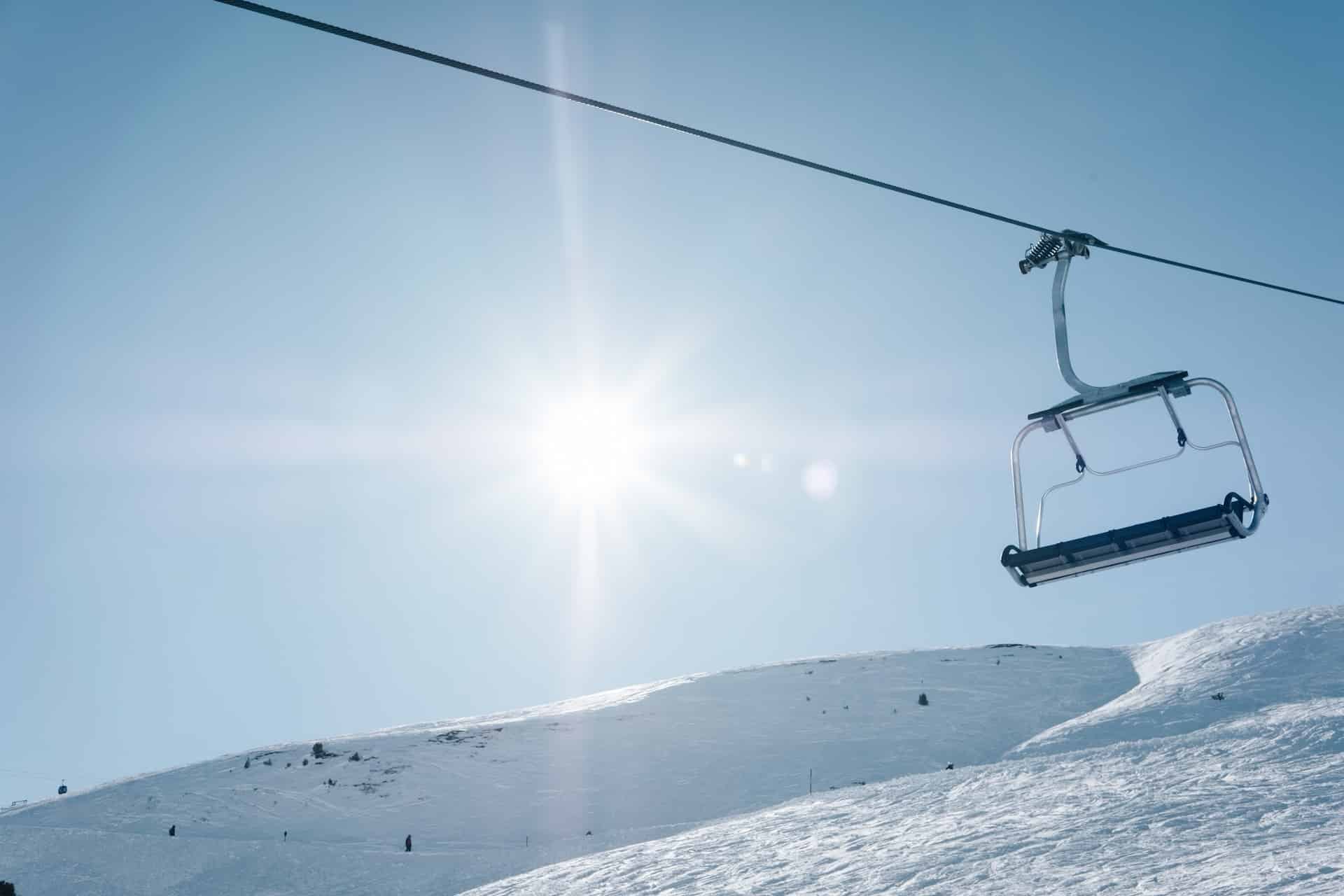
Smuggler's Notch
Smugglers' Notch in northern Vermont has their slogan as "America's Family Resort." While this ski resort definitely is family-friendly with its variety of skilled runs and an excellent ski lesson program, Smugglers' Notch has a difficult side to it.
Smugglers' Notch spans across three peaks: Morse, Madonna and Sterling Mountains. Morse is the more beginner-friendly of the three, with the others having more powder and a steeper descent.
Consisting of 1,000 skiable acres, Smugglers' Notch has a bit of everything: manicured glades, narrow groomed runs, and steep black diamonds.
There is not much in the way of lodging or food outside of the mountain. The lodging options inside the resort can get pricey, as can the restaurants.
We recently ranked all of Vermont's ski resorts, so you can see where Smuggler's Notch stacks up against all its nearby ski hills!
Season Passes
Smuggler's Notch is not a part of any nationwide lift ticket system. Passes such as Epic, IKON, or Mountain Collective allow pass holders to ski at multiple mountians with a single purchase. Unfortunately, none of those passes work with Smuggler's Notch Ski Resort. To purchase season passes, you'll need to visit Smuggler's Notch's website.
Lodging Options
There are numerous options to stay at Smuggler's Notch around the resort. Check out the available options with the form below.
Smuggler's Notch Mountain Resort Terrain Overview
Smuggler's Notch has a total of 78 ski trails, which are serviced by 8 ski lifts, gondolas and/or trams. The amount of skiable area in this park is huge, with a maximum of 1,000 acres available to skiers. This area is equivalent to 405 hectares, 1.6 square miles, or 4.0 square kilometers.
Smuggler's Notch's slopes see on average 280 inches (7.1 meters) of snowfall a year. That is almost 23 feet every year!

Total Runs
78

Lifts
8

Skiable Acres
1,000(4 km2)
Annual Snowfall
280"(711 cm)
Smuggler's Notch Ski Resort Elevation
Smuggler's Notch Ski Resort has a summit elevation of 3,640 feet, or 1,109 meters. However, not all of that elevation is able to be skied. The base of the ski slope sits at 1,030 feet above sea level, creating a ski hill that is 2,610 feet (795 meters) high. This is referred to as the slope's vertical drop - or a measure of how high the skiable hill is.
Smuggler's Notch's summit elevation is about average. There are a lot of ski slopes that are quite a bit higher, but also many that are much, much smaller.
Summit Elevation
3,640'(1,109 m)
Vertical Drop
2,610'(795 m)
Base Elevation
1,030'(314 m)
Smuggler's Notch Ski Resort Difficulty Level

Difficulty Score™
61.2out of 100
DID YOU KNOW?
At Parks & Trips, we've created a proprietary Difficulty Score that attempts to show how difficult a particular ski slope is. We get to this number by combining a number of metrics for each resort and comparing them to its peers. Most of the score is based off the amount of easy-intermediate-expert slopes by acreage and the maximum vertical drop of the overall resort, but also includes a few lesser-used metrics as well.
Our algorithm compares each resort’s metrics with all others in North America, then assigns each a Difficulty Score, which we use to rank them accordingly. Resorts with a lower score are easier to ski than those with a higher one. However, a high score does not mean that the resort does not have any easy slopes, or vice versa. This is just an overall score given to the resort based on all its metrics grouped together.
Skiable Terrain by Difficulty Level
Smuggler's Notch has 1,000 total skiable acres, which can be broken down into the three main groups of difficulty: Beginner, Intermediate, and Expert.
Smuggler's Notch's difficulty level is higher than average, which is because 50% of its ski trails are rated as intermediate, and another 31% as expert.
Beginner
19%(190 acres)
Beginner trails (identified by a green circle) are the easiest trails on the hill with a gradual 25% or less gradient, and are usually wide to accommodate beginner skiers.

Intermediate
50%(500 acres)
Intermediate trails (identified by a blue square) are usually the most popular and crowded runs, which have a slope of anywhere between 25-40%.
Expert
31%(310 acres)
Expert trails (identified by a black diamond... or two) are the hardest slopes on the mountain, and have very steep gradients over 40%.
Is Smuggler's Notch Ski Resort good for beginners?
Smuggler's Notch is above average in its difficulty level, so... probably not? It will depend on which trails you take since only 69% of its trails rated for either beginner or intermediate skill levels.
Smuggler's Notch Ski Resort Location
Smuggler's Notch Ski Resort is located in the state of Vermont, USA. This ski area is nearest the town of Jeffersonville, VT.
Address:
Jeffersonville, VT 05464 USA
View on Google Maps
Website:
smuggs.com
GPS Coordinates:
44.55000, -72.79000
Getting to Smuggler's Notch Mountain Resort
By Car: If you are driving, you would set your GPS to either the ski resort's name (Smuggler's Notch Ski Resort), its coordinates of 44.55000, -72.79000 (latitude, longitude), or simply drive towards the town of Jeffersonville, VT to get close.
By Air: If you are coming in from across the country, then you may need to board an airplane to get here.
A large airport has scheduled major airline service with millions of passengers per year. This type of airport always accepts international flights. Here are the closest large airport(s) to Smuggler's Notch Ski Resort.
| Name | Code | City | Distance |
|---|---|---|---|
| Montreal / Pierre Elliott Trudeau International Airport | YUL | Montréal, QC | 79 mi |
| Portland International Jetport | PWM | Portland, ME | 138 mi |
| Ottawa Macdonald-Cartier International Airport | YOW | Ottawa, ON | 150 mi |
A medium-sized airport has scheduled regional airline service. This type of airport may or may not accept international flights. Here are the closest medium-sized airport(s) to Smuggler's Notch.
| Name | Code | City | Distance |
|---|---|---|---|
| Burlington International Airport | BTV | Burlington, VT | 19 mi |
| Plattsburgh International Airport | PBG | Plattsburgh, NY | 34 mi |
| Lebanon Municipal Airport | LEB | Lebanon, NH | 68 mi |
There may also be much smaller regional airports next to Smuggler's Notch Ski Resort, but we didn't list them here due to the fact that no major airlines go through them.
Other Nearby Ski Resorts
Skiers will - especially if coming from far away - try and visit a couple different slopes all in the same trip. Here are the closest other ski slopes within 100 miles of Smuggler's Notch Ski Resort.
| Name | Location | Summit | Difficulty Score™ | Distance |
|---|---|---|---|---|
| Bolton Valley | Richmond, VT | 3,150 ft | 42% | 9 mi |
| Mad River Glen | Morrisville, VT | 3,637 ft | 61% | 11 mi |
| Saskadena Six | South Pomfret, VT | 1,200 ft | 37% | 11 mi |
| Cochran Ski Area | Richmond, VT | 950 ft | 33% | 14 mi |
| Sugarbush | Warren, VT | 4,083 ft | 62% | 30 mi |
| Jay Peak | Jay, VT | 3,968 ft | 60% | 33 mi |
| Mont Sutton | Sutton, QC | 3,175 ft | 42% | 40 mi |
| Middlebury Snow Bowl | Hancock, VT | 2,720 ft | 40% | 43 mi |
| Owl's Head | Mansonville, QC | 2,480 ft | 47% | 44 mi |
| Burke Mountain | East Burke, VT | 3,267 ft | 62% | 44 mi |
| Pico Mountain | Mendon, VT | 3,967 ft | 57% | 48 mi |
| Bromont | Bromont, QC | 1,693 ft | 43% | 51 mi |
| Whiteface Mountain | Wilmington, NY | 4,650 ft | 71% | 56 mi |
| Mont Orford | Orford, QC | 2,800 ft | 42% | 60 mi |
| Killington | Killington, VT | 4,241 ft | 69% | 61 mi |
| Cannon Mountain | Franconia, NH | 4,080 ft | 59% | 61 mi |
| Catamount Mountain | Hillsdale, NY | 2,000 ft | 36% | 64 mi |
| Mont Hatley (Montjoye) | Canton de Hatley, QC | 1,200 ft | 0% | 67 mi |
| Mt. Pisgah Recreation Center | Saranac Lake, NY | 2,500 ft | 39% | 68 mi |
| Bretton Woods | Bretton Woods, NH | 3,100 ft | 54% | 69 mi |
| Mont Bellevue | Sherbrooke, QC | 1,089 ft | 11% | 72 mi |
| Titus Mountain | Malone, NY | 2,025 ft | 37% | 72 mi |
| Ski Saint-Bruno | Saint-Bruno-de-Montarville, QC | 574 ft | 21% | 75 mi |
| Waterville Valley | Waterville Valley, NH | 4,004 ft | 50% | 76 mi |
| Okemo Mountain | Ludlow, VT | 3,344 ft | 54% | 79 mi |
| Woods Valley | Bolton Landing, NY | 1,400 ft | 35% | 79 mi |
| Wildcat Mountain | Gorham, NH | 4,062 ft | 57% | 80 mi |
| Black Mountain | Jackson, NH | 2,350 ft | 45% | 84 mi |
| Attitash | Bartlett, NH | 2,350 ft | 53% | 84 mi |
| Gore Mountain | North Creek, NY | 3,600 ft | 66% | 87 mi |
| Ragged Mountain | Andover, NH | 2,250 ft | 44% | 89 mi |
| Mount Sunapee | Newbury, NH | 2,743 ft | 45% | 90 mi |
| Groupe Plein Air Terrebonne | Terrebonne, QC | 100 ft | 0% | 91 mi |
| Bromley Mountain | Peru, VT | 3,284 ft | 44% | 91 mi |
| Magic Mountain | Londonderry, VT | 2,850 ft | 54% | 93 mi |
| Mont Rigaud | Rigaud, QC | 571 ft | 43% | 99 mi |
| Stratton Mountain | Winhall, VT | 3,875 ft | 47% | 99 mi |
| West Mountain | Queensbury, NY | 1,470 ft | 31% | 100 mi |
Smuggler's Notch Ski Resort Mountain Stats
| Name | Statistic |
|---|---|
| Summit Elevation | 3,640 ft |
| Base Elevation | 1,030 ft |
| Vertical Drop | 2,610 ft |
| Trails | 78 (19% Beginner, 50% Intermediate, 31% Expert) |
| Lifts | 8 |
| Skiable Acres | 1,000 |
| Avg. Annual Snowfall | 280 inches |