Rowena Crest Viewpoint in Oregon’s Columbia River Gorge
The Rowena Crest Viewpoint is a must-visit destination for anyone traveling through or visiting the Columbia River Gorge National Scenic Area in northwest Oregon. Located 1.5 hours from Portland, 30 minutes from Mount Hood, it is in the perfect spot to take a short trip to see. Accompanied by a few short trails, the viewpoint overlooks the Columbia River, its gorge, and the winding Historic Columbia River Highway.
The Columbia River Gorge
The Columbia River Gorge is a canyon located in the Pacific Northwest region of the United States, between the states of Oregon and Washington. It was formed by the Columbia River cutting through the Cascade Mountain Range and serves as a natural boundary between the two states. The gorge is approximately 80 miles long and up to 4,000 feet deep in some places.
The Columbia River Gorge was created by the Missoula Floods at the end of the last ice age, which were massive floods stemming from a glacial lake overflow that swept down from eastern Washington and through the gorge.
Getting to the Rowena Crest Viewpoint
Address to the Rowena Crest Viewpoint parking lot: 6500 Historic Columbia River Hwy, Mosier, OR 97040
GPS coordinates to the viewpoint are 45.682891, -121.301923
The Rowena Crest Viewpoint is about 1.5 hours east of Portland, OR. If traveling from Portland, find Interstate 84 East/US 30 East, and drive. You’ll pass the town of Hood River, OR, then after about a total of an hour of driving, you’ll reach the town of Mosier. Here you’ll exit the Interstate, and continue on Route 30. At this point, you will come across the entrance to the view point in a little over 6 miles.
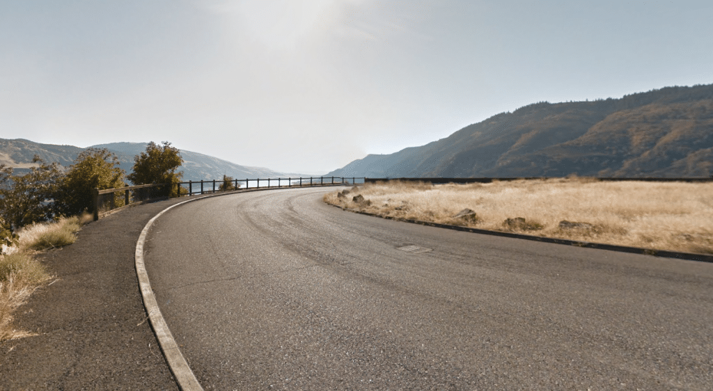
The parking lot is more of a big loop, where you park along the side. Despite its internet popularity, the Rowena Crest Viewpoint is usually not crowded at all. This probably has to do with the fact that it isn’t really near any major tourist attractions. If someone is stops here to visit, they are making the trip to see the viewpoint on purpose.
Parking is free. There are no restrooms or picnic tables, but there are a few interpretive plaques that explain a little about the Rowena Crest and how the gorge it overlooks was created between 10,000-15,000 years ago.
The Rowena Crest Viewpoint
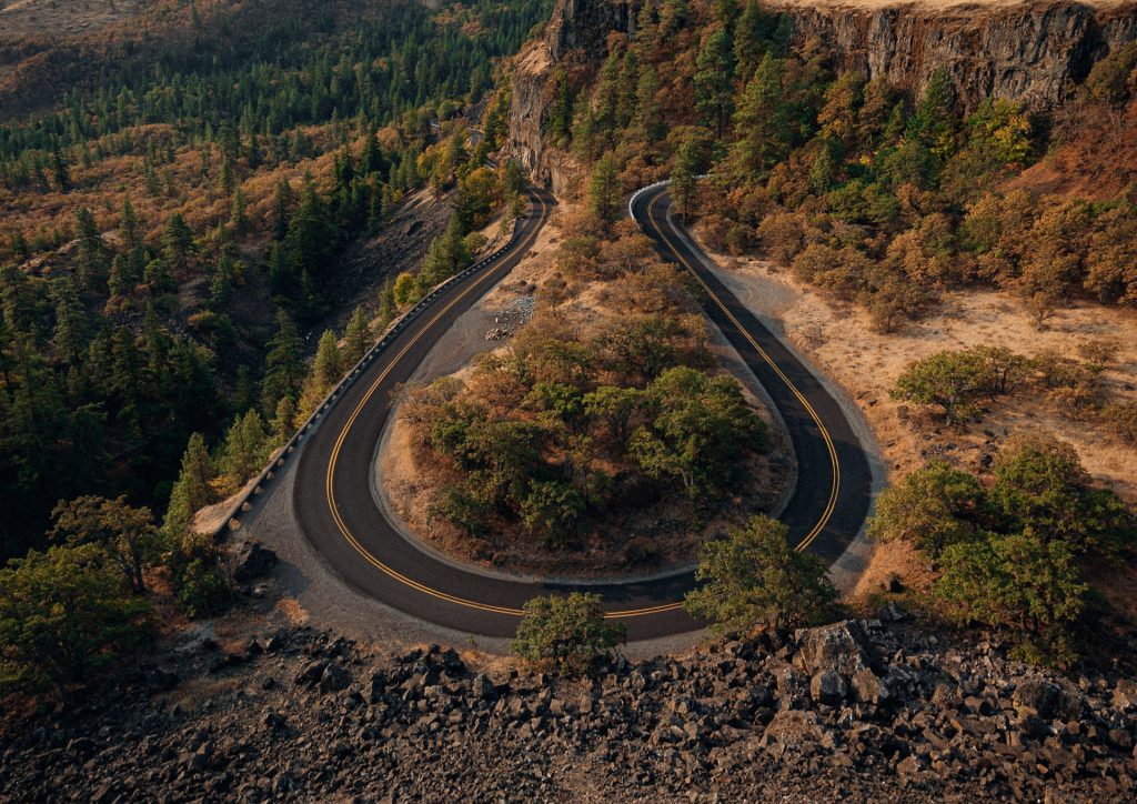
At the Rowena Crest Viewpoint, you can see the rugged cliffs of the Columbia Gorge, as well as the lush green forests that blanket the hillsides of it. On clear days, you can also see the distant snow-capped peaks of Mount Hood and Mount Adams.
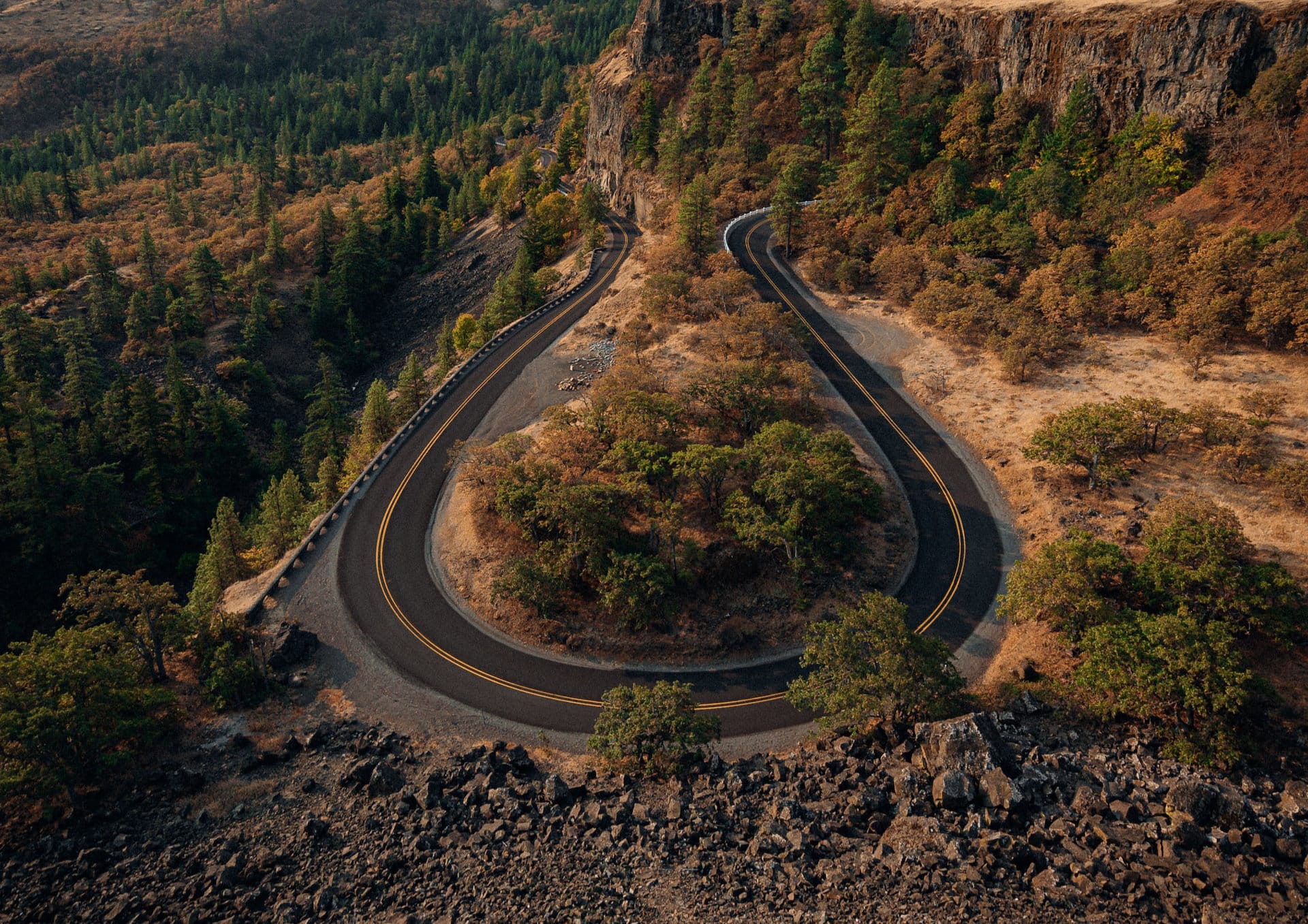
However, the Rowena Crest Viewpoint is most popular for its view down to the Historic Columbia River Highway, or US Route 30. This road makes a series of long, winding turns as it works its way down into the gorge, similar to the way the Horseshoe Bend in Marble Canyon looks. The view point is a favorite spot for photographers due to the seemingly unreal-yet-perfect road below.
Most visitors stop to check out the view, then leave. However, there are a few hiking trails that start at the parking area that would make for a good hike on a lazy morning.
The Rowena Plateau Loop Trail: Starting directly across Route 30 from the parking lot’s entrance, this easy, 2-mile hike loops across a clifftop plateau with outstanding views of the 231-acre Tom McCall Nature Preserve it sits on. The trail follows the edge of a cliff high above Rowena Dell before looping back to where it started.
Tom McCall Point Trail: This trail begins from inside the parking lot, on the right side when you’re driving in. This is a harder trail than the Plateau Loop, seeing an elevation gain of nearly 1,300 feet over an almost 5 mile out-and-back hike. Note that this trail is closed annually November 1 through February 28 for weather.
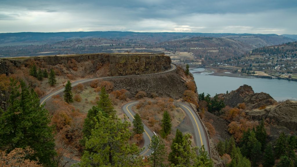
Here is the opposite view of the viewpoint. The flat plateau above the roads in the top-third of the picture is where the viewpoint sits. This extra view is accessed via the Tom McCall Point Trail.
Columbia River Gorge Weather
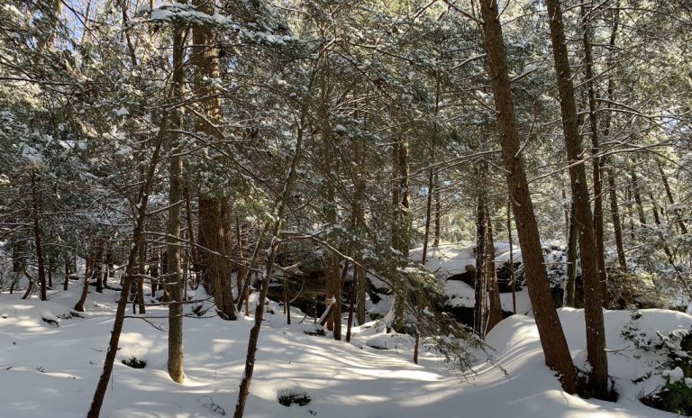
Winter is one of the best times to visit one of the trails in the Columbia River Gorge National Scenic Area. Not only are the skies more dramatic, but there are fewer people and more parking spaces even at the most popular trailheads. Snow is common here, but there is a lot of rain and mud this time of year as well.
Summer daytime highs often do not reach 80°F, but there is sticky humidity in the air. There is significantly less ran in the summer when compared to the spring or fall as well.
