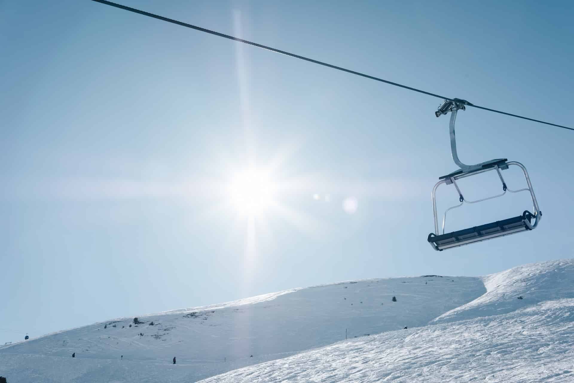
Mont Hatley (Montjoye)
Mont Hatley (Montjoye) is permanently closed.
Mont Hatley (Montjoye) is a ski area located in the province of Quebec in Canada. The resort is in the town of Canton de Hatley, QC.
We recently ranked all of Quebec's ski resorts, so you can see where Mont Hatley (Montjoye) stacks up against all its nearby ski hills!
Season Passes
Mont Hatley (Montjoye) is not a part of any nationwide lift ticket system. Passes such as Epic, IKON, or Mountain Collective allow pass holders to ski at multiple mountians with a single purchase. Unfortunately, none of those passes work with Mont Hatley (Montjoye). To purchase season passes, you'll need to visit Mont Hatley (Montjoye)'s website.
Lodging Options
There are numerous options to stay at Mont Hatley (Montjoye) around the resort. Check out the available options with the form below.
Mont Hatley (Montjoye) Terrain Overview
Mont Hatley (Montjoye) has a total of 24 ski trails, which are serviced by 3 ski lifts, gondolas and/or trams. Mont Hatley (Montjoye) is considered a smaller than average ski area, with only a maximum of 135 acres available to ski. This area is equivalent to 55 hectares, 0.2 square miles, or 0.5 square kilometers.
Mont Hatley (Montjoye)'s slopes see on average 200 inches (5.1 meters) of snowfall a year. That is almost 16 feet every year!

Total Runs
24

Lifts
3
Skiable Acres
135(1 km2)

Annual Snowfall
200"(508 cm)
Mont Hatley (Montjoye) Elevation
Mont Hatley (Montjoye) has a summit elevation of 1,200 feet, or 366 meters. However, not all of that elevation is able to be skied. The base of the ski slope sits at 450 feet above sea level, creating a ski hill that is 750 feet (229 meters) high. This is referred to as the slope's vertical drop - or a measure of how high the skiable hill is.
Mont Hatley (Montjoye) has a very low summit elevation. The summit of this park is one of the smaller ones in the country.
Summit Elevation
1,200'(366 m)
Vertical Drop
750'(229 m)
Base Elevation
450'(137 m)
Mont Hatley (Montjoye) Difficulty Level

Difficulty Score™
0out of 100
DID YOU KNOW?
At Parks & Trips, we've created a proprietary Difficulty Score that attempts to show how difficult a particular ski slope is. We get to this number by combining a number of metrics for each resort and comparing them to its peers. Most of the score is based off the amount of easy-intermediate-expert slopes by acreage and the maximum vertical drop of the overall resort, but also includes a few lesser-used metrics as well.
Our algorithm compares each resort’s metrics with all others in North America, then assigns each a Difficulty Score, which we use to rank them accordingly. Resorts with a lower score are easier to ski than those with a higher one. However, a high score does not mean that the resort does not have any easy slopes, or vice versa. This is just an overall score given to the resort based on all its metrics grouped together.
Skiable Terrain by Difficulty Level
Mont Hatley (Montjoye) has 135 total skiable acres, which can be broken down into the three main groups of difficulty: Beginner, Intermediate, and Expert.
Since Mont Hatley (Montjoye) is an extremely beginner-friendly ski area, it has 0% of its trails are rated as "beginner-level". 0% trails are rated as intermediate.
Beginner
0%(0 acres)
Beginner trails (identified by a green circle) are the easiest trails on the hill with a gradual 25% or less gradient, and are usually wide to accommodate beginner skiers.

Intermediate
0%(0 acres)
Intermediate trails (identified by a blue square) are usually the most popular and crowded runs, which have a slope of anywhere between 25-40%.

Expert
0%(0 acres)
Expert trails (identified by a black diamond... or two) are the hardest slopes on the mountain, and have very steep gradients over 40%.
Is Mont Hatley (Montjoye) good for beginners?
Mont Hatley (Montjoye) is a very beginner-friendly course. In fact, it is one of the easiest ski slopes in all of North America, ranking in the bottom 10% of overall difficulty. 0% of its trails are rated as "beginner".
Mont Hatley (Montjoye) Location
Mont Hatley (Montjoye) is located in the province of Quebec, Canada. This ski area is nearest the town of Canton de Hatley, QC.
Address:
Canton de Hatley, QC J0B 2C0 Canada
View on Google Maps
Website:
monthatley.com
GPS Coordinates:
45.30300, -71.93100
Getting to Mont Hatley (Montjoye)
By Car: If you are driving, you would set your GPS to either the ski resort's name (Mont Hatley (Montjoye)), its coordinates of 45.30300, -71.93100 (latitude, longitude), or simply drive towards the town of Canton de Hatley, QC to get close.
By Air: If you are coming in from across the country, then you may need to board an airplane to get here.
A large airport has scheduled major airline service with millions of passengers per year. This type of airport always accepts international flights. Here are the closest large airport(s) to Mont Hatley (Montjoye).
| Name | Code | City | Distance |
|---|---|---|---|
| Montreal / Pierre Elliott Trudeau International Airport | YUL | Montréal, QC | 142 km |
| Quebec Jean Lesage International Airport | YQB | Quebec, QC | 170 km |
| Portland International Jetport | PWM | Portland, ME | 224 km |
A medium-sized airport has scheduled regional airline service. This type of airport may or may not accept international flights. Here are the closest medium-sized airport(s) to Mont Hatley (Montjoye).
| Name | Code | City | Distance |
|---|---|---|---|
| Montréal / Saint-Hubert Airport | YHU | Montréal, QC | 118 km |
| Burlington International Airport | BTV | Burlington, VT | 133 km |
| Plattsburgh International Airport | PBG | Plattsburgh, NY | 141 km |
There may also be much smaller regional airports next to Mont Hatley (Montjoye), but we didn't list them here due to the fact that no major airlines go through them.
Other Nearby Ski Resorts
Skiers will - especially if coming from far away - try and visit a couple different slopes all in the same trip. Here are the closest other ski slopes within 100 miles of Mont Hatley (Montjoye).
| Name | Location | Summit | Difficulty Score™ | Distance |
|---|---|---|---|---|
| Mont Bellevue | Sherbrooke, QC | 1,089 ft | 11% | 9 km |
| Mont Orford | Orford, QC | 2,800 ft | 42% | 23 km |
| Owl's Head | Mansonville, QC | 2,480 ft | 47% | 38 km |
| Mont Sutton | Sutton, QC | 3,175 ft | 42% | 54 km |
| Jay Peak | Jay, VT | 3,968 ft | 60% | 56 km |
| Bromont | Bromont, QC | 1,693 ft | 43% | 58 km |
| Mont Gleason | Tingwick, QC | 1,132 ft | 37% | 70 km |
| Burke Mountain | East Burke, VT | 3,267 ft | 62% | 81 km |
| J0T 2N0 | Marston, QC | 1,509 ft | 29% | 84 km |
| Whaleback Mountain | Enfield, NH | 1,800 ft | 40% | 88 km |
| Mad River Glen | Morrisville, VT | 3,637 ft | 61% | 96 km |
| Saskadena Six | South Pomfret, VT | 1,200 ft | 37% | 96 km |
| Mont Adstock | Adstock, QC | 2,657 ft | 48% | 99 km |
| Black Mountain | Rumford, ME | 2,150 ft | 45% | 100 km |
| Mont Apic | Saint-Pierre-Baptiste, QC | 689 ft | 35% | 105 km |
| Smuggler's Notch | Jeffersonville, VT | 3,640 ft | 61% | 108 km |
| Ski Saint-Bruno | Saint-Bruno-de-Montarville, QC | 574 ft | 21% | 113 km |
| Rangeley Lakes Trail Center | Rangeley, ME | 0 ft | 0% | 114 km |
| Bolton Valley | Richmond, VT | 3,150 ft | 42% | 122 km |
| Bretton Woods | Bretton Woods, NH | 3,100 ft | 54% | 122 km |
| Wildcat Mountain | Gorham, NH | 4,062 ft | 57% | 128 km |
| Sunday River | Bethel, ME | 3,140 ft | 57% | 129 km |
| Cannon Mountain | Franconia, NH | 4,080 ft | 59% | 129 km |
| Cochran Ski Area | Richmond, VT | 950 ft | 33% | 130 km |
| Black Mountain | Jackson, NH | 2,350 ft | 45% | 135 km |
| Centre de ski Saint-Georges | Saint-Georges, QC | 595 ft | 45% | 135 km |
| Mt. Abram | Greenwood, ME | 2,001 ft | 39% | 140 km |
| Club Ski Beauce | Vallée-Jonction, QC | 650 ft | 38% | 142 km |
| Attitash | Bartlett, NH | 2,350 ft | 53% | 146 km |
| Sugarbush | Warren, VT | 4,083 ft | 62% | 149 km |
| Val-Mauricie | Shawinigan-Sud, QC | 380 ft | 6% | 150 km |
| Cranmore Mountain | North Conway, NH | 2,000 ft | 41% | 153 km |
| Waterville Valley | Waterville Valley, NH | 4,004 ft | 50% | 153 km |
| Vallée Du Parc | Shawinigan, QC | 1,017 ft | 41% | 160 km |
Mont Hatley (Montjoye) Mountain Stats
| Name | Statistic |
|---|---|
| Summit Elevation | 1,200 ft |
| Base Elevation | 450 ft |
| Vertical Drop | 750 ft |
| Trails | 24 (0% Beginner, 0% Intermediate, 0% Expert) |
| Lifts | 3 |
| Skiable Acres | 135 |
| Avg. Annual Snowfall | 200 inches |