Hiking the Red Reef Trail in Red Cliffs Recreation Area, Utah
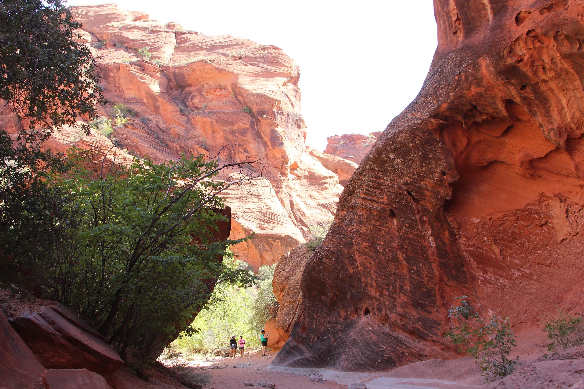
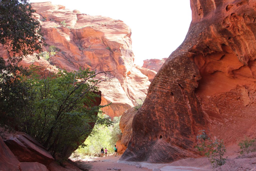
The Red Reef Trail just north of St. George, UT is a popular hiking trail that offers spectacular views of the red rock cliffs of the area. Located in the Red Cliffs Desert Reserve inside the Red Cliffs Recreation Area, this particular trail offers visitors the chance to explore the unique landscape of southern Utah.
Red Cliffs Recreation Area is about 36 miles, or ~50 minutes west of Zion National Park. If you are on your way to or from visiting Zion, you’ll likely pass this area.
As of Spring 2023, the Red Reef Trail was refurbished with funds from the 2020 Great American Outdoors Act (GAOA). All new trail markers and signs have been installed, the shelters and picnic tables replaced or repaired and parking lots and fences have been mended.
Getting to the Red Reef Trailhead
Address to the Red Reef Trail and parking lot: Red Reef Trailhead, Hurricane, UT 84737
GPS Coordinates: 37.224794, -113.406300
To reach the Red Reef trailhead, take Exit 23 off Interstate 15 S and head east on Red Cliffs Campground Road. The trailhead is located at the campground, which is about 5 miles down the paved road. There are a few different smaller parking lots available around the campground. The trailhead is towards the back of the loop.
Fees
Fees are collected to use the Red Cliffs Recreation Area. The fee is currently $5 per vehicle, per day, and is paid on-site.
The Red Reef Trail
The Red Reef Trail hike follows along a narrow canyon, with a nice, small waterfall at the end. The trail can get very crowded on weekends, so if you intend to show up on Saturday or Sunday, get here early.
| Hiking Distance | 2.2 miles (3.5 km) |
| Hiking Duration | 1 hour |
| Route Type | Out and Back |
| Difficulty Level | Moderate |
| Elevation | 7,333 feet ( meters) |
| Elevation Climb | 219 feet |
| Trail Type | Dirt, but well groomed |
| Wheelchair Accessible | No |
| Pets Allowed | Yes |
| Fees | Day Use Fee (see above) |
The Red Reef Trail is a 2.4-mile round-trip hike that starts at the Red Cliffs Campground. The trailhead is located just off the main road that runs through the recreation area, and is well-marked with signs. The trail is considered to have a moderate difficulty level, however, there you can make this trail as long or as short as you’d like. Even a couple of hundred feet into this path will have spectacular views.
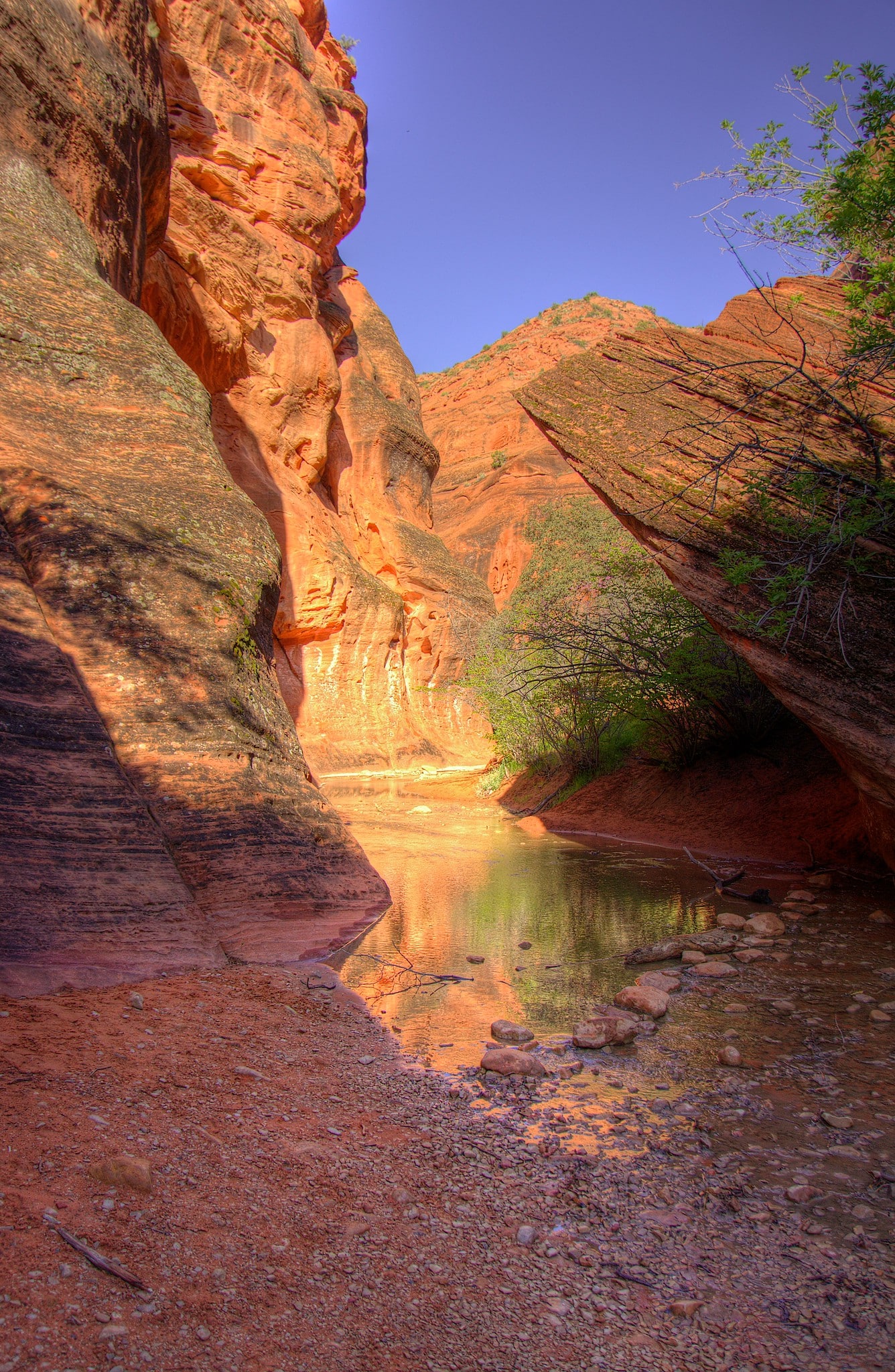
As you proceed down the trail, the canyon narrows considerably, so much so that you are forced to use stepping stops to get over Quail Creek when the water is running. You then reach a rope that is used to bypass the waterfall.
Due to the rope and narrow creek, most people stop here. If you’re an adventurer like me – you continue on. Just past the waterfall is a deep slot canyon with more deep pools and overhanging cliffs. However, don’t plan on going past the roped waterfall passage unless you have good hiking boots and maybe some poles.
Other Nearby Trails
There are several trailheads that start at the same parking area of the Red Reef Trail, including the Cottonwood Canyon Trail, and the Black Ridge Trail. The Cottonwood Canyon Trail, offers a more challenging hike through the rugged landscape, while the Black Ridge Trail offers a more strenuous climb to the top of the cliffs.
Also in Red Cliffs Recreation Area is a small area known as Dinosaur Footprints. Preserved in the rocks is evidence that dinosaurs roamed this exact area 190 million of years ago. There are 17 tracks from Grallator and Kayentapus dinosaurs. These tracks can be seen along the Silver Reef Trail.
Weather in Red Cliffs Recreation Area
The typical weather seasons in the Red Cliffs Recreation Area vary depending on the time of year. Spring and fall are the best seasons to visit, with mild temperatures and comfortable weather. Summer can be hot, with temperatures often reaching over 100, which should be avoided if at all possible. The waterfall may not be flowing in the middle of summer either.
Winter can be cold with occasional snowfall. The trail can get quite muddy and slick as the snow and ice begin to melt.
