The Mission Peak Loop Hike in Fremont, CA
The Mission Peak Loop Trail is a moderately difficult hiking trail located in Mission Peak Regional Preserve, near Fremont, California. The approximately 6-mile trail forms a loop that takes hikers on a challenging ascent to the summit of Mission Peak, which stands at an elevation of over 2,500 feet (767 meters).
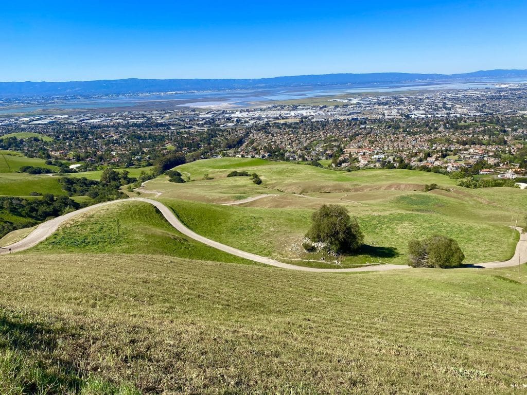
Hikers are rewarded at the top with panoramic views of the Bay Area, including the San Francisco Bay, Silicon Valley, and the Diablo Range. The preserve rises steeply east of Fremont, and the Mission and Monument peaks form a dramatic backdrop to the South Bay.
Getting to the Mission Peak Loop Hike Trailhead
Located less than an hour from the downtowns of San Francisco and Oakland, and less than 25 minutes from San Jose, the Mission Peak hike is a favorite of many that live in the area. We have plenty of trips that either fly into or out of San Francisco International Airport. Visiting the Mission Peak Preserve would be a great way to spend an extra day here if you’ve already seen the Golden Gate Bridge.
The trailhead is located at 1880 Stanford Ave, Fremont, CA 94539, and has room for a couple dozen vehicles in its paved parking lot. Parking is free at Mission Preserve. Also, due to its proximity to several major metropolitan areas, expect the lot to fill up on nice days, and doubly so on weekends.
If you know anything about weather in the Bay, you can be sure that just about any day of the year will be a great time to visit this preserve surrounded by bustling cities. The trail stays open year-round.
The Mission Loop Hike

| Trail Distance | 5.8 miles |
| Elevation Change | 2,135 feet |
| Difficulty Level | Challenging |
| Route Type | Loop |
| Dogs Allowed | Yes |
| Fees | None |
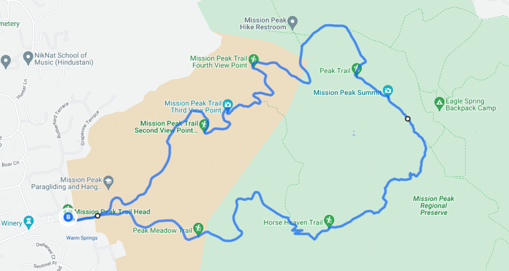
This trail is paved, but the elevation change of over 2,100 feet makes this a fairly challenging route. In my opinion, going counterclockwise is best. The southernmost section of the hike is steeper and more difficult to navigate. In my opinion, it is easiest to do this at full energy. The trail is all uphill until you reach the peak, at which, it becomes all downhill the rest of the way.
It should also be noted that this hike uses a combination of different trails to create the loop. If going counterclockwise, the trails used would be:
- Peak Meadow Trail (~1.4 miles)
- Horse Heaven Trail (~1.3 miles)
- Peak Trail (~0.75 miles)
- Regional Park Trail (~0.9 miles)
- Ohlone Wilderness Trail (~1.6 miles)
The top of the hike makes it all worth it. The views from Mission Peak are astounding, and definitely worth all the leg burning it took to get there.
Shortening The Hike
So if a 6-mile challenging hike is not really your thing, then there are a few ways to adjust the route. One way makes it a bit a shorter, and the other makes it slightly less strenuous. The other cheats.
- Take a left at the first junction, and turn around and back-track your path after reaching Mission Peak. While it does remove a few tenths of a mile from the round trip, the primary reason for turning around is skipping the much more grueling and steeper southern section.
- Take the Mission Peak Meadow Trail loop instead. This cuts off about 2 miles (making it around 4 total miles round trip). The downside here is that you won’t reach the summit of Mission Peak. You’ll see the faint green dotted line in my map above… this is the shortcut.
- Hike from Mill Creek Road instead. By parking at the Regional Park Trailhead at 6900 Mill Creek Rd, Fremont, CA 94539, the hike to the summit shortens considerably to around 2 miles total. The downfall here is that there really isn’t a good parking area at this trailhead. Parking will definitely be a problem here.


