The Topanga Lookout Trail in the Santa Monica Mountains
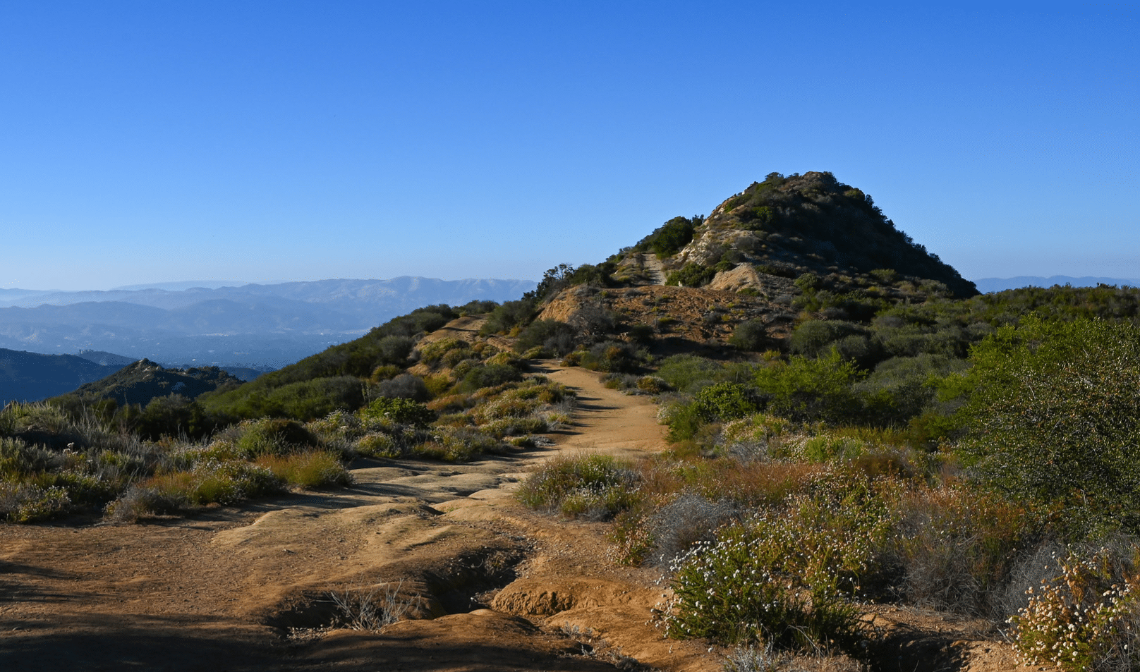
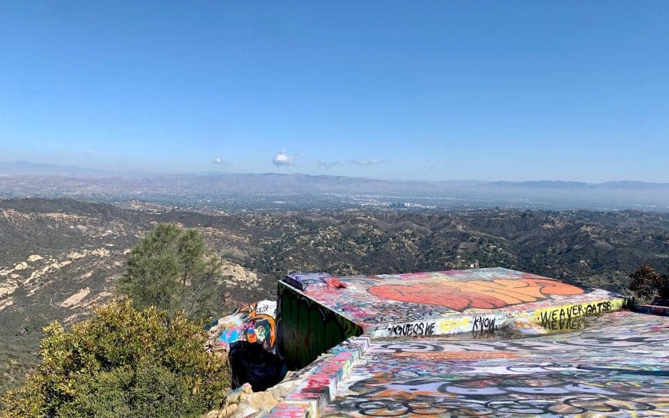
The Topanga Lookout (also called Rosas Overlook) is on the site of a former a fire department observation tower, which overlooks Red Rock Canyon Park and offers great views of the San Fernando Valley, Santa Monica Mountains and Calabasas Peak.
It is located inside the Santa Monica National Recreation Area, which covers 158,000 acres of mountains overlooking Malibu and Los Angeles. In fact, Topanga Lookout is one of the highest points in the Santa Monica Mountains at 2,375 feet above sea level. But the trail is easy, since most of the elevation climb can be done in the car.
The lookout is a popular destination due to its amazing views of the canyon, relatively easy access, and eclectic graffiti covered rocks and platforms.
| Hiking Distance | 2 miles (3.22 km) |
| Difficulty | Easy |
| Hiking Duration | 1 hour |
| Elevation Gain | 160 ft (49 m) |
| Trail Type | Out and Back |
| Dogs | Allowed |
| Fees | Free |
Getting to The Trailhead
GPS coordinates: 34.081343, -118.645512 (Google Maps Link)
Trailhead address: 23300 Saddle Peak Road, Topanga Canyon, CA 90290
The Topanga Lookout Trailhead is located only a short distance from some other major tourist destinations. The Santa Monica Pier is only 15 miles (30 minutes) southeast, and Malibu is only 15 miles (25 minutes) southwest of the trailhead.
The best way to get to the trailhead is by taking Highway US 1 (Pacific Coast Highway) until you reach Las Flores Canyon Road. After about 3.5 miles, turn right onto Rambla Pacifico Street, then almost immediately another right onto Schueren Road.
Schuren Road has a few overlooks you can stop and take a gaze at, however the Topanga Lookout Trail is located at the intersection of Schuren, Stunt and Saddle Peak Roads. This spot is where the parking lot and trailhead both sit.
The parking lot has room for a couple of dozen vehicles, with a few additional spots along the side of the road. Even the view from the parking lot is quite remarkable, so much that it has a name: Lois Ewen Overlook.
The Topanga Lookout Trailhead & Trail
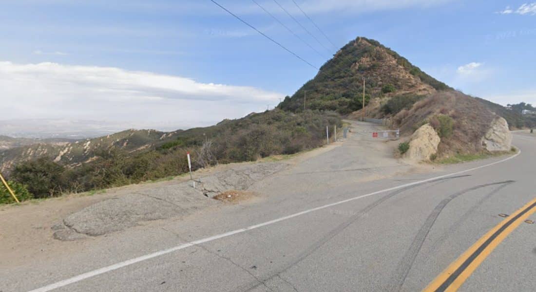
The Topanga Lookout trailhead starts out just beyond the gate, that is meant to keep motorists off the trail and hikers safe. Walk around the gate, and continue up a paved road known as The Topanga Tower Motorway.
Just steps from the gated start, you come to a fork, where the motorway crosses the Fossil Ridge Trail, which is a small section of the much larger Backbone Trail. Pass this junction and continue left up the dirt trail.
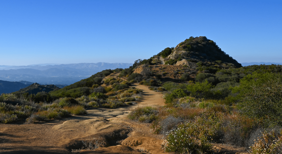
A little further up the path, you’ll pass a driveway on your right that heads down to some radio towers. The trail is fairly flat until just before you reach the site of the old fire towers, but even then, it’s not too difficult.
All told, it is about 1 mile from the trailhead to the graffiti covered concrete pad that is the lookout.
An Alternative Route
There is a second way up to Topanga Lookout. Make your way to the junction of Calabasas Peak Motorway and Red Rock Canyon Motorway, which is along the trail to Calabasas Peak. This trail is unmarked.
Weather at Topanga Lookout
While the elevation at the Lookout will make it a bit more breezy and chillier, the weather in nearby Malibu is gorgeous year-round. December to April mark it’s coldest months, but the highs are still in the upper 60s to lower 70s. Even in July, the temperature rarely rises above 80 F.
