All Great Smoky Mountains National Park Signs
The Great Smoky Mountains is the most visited National Park in the US for over four decades. Entrance to the park is free, which most definitely leads to the massive number of visitors that pass through this park.
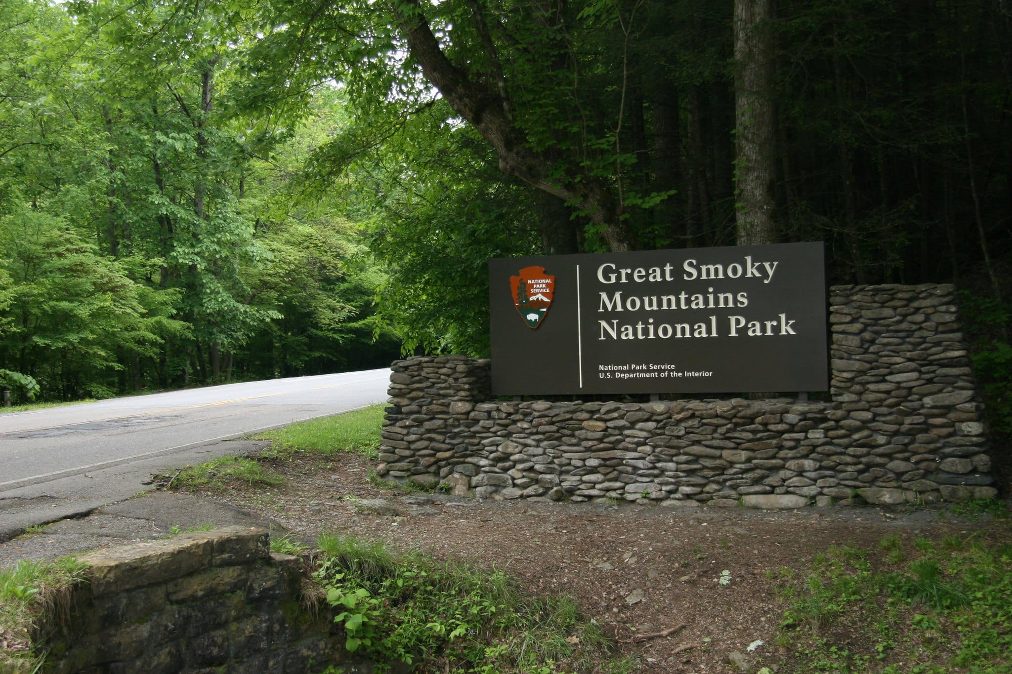
The original signs for the main entrances to the park were replaced sometime between 2007 and 2008 from what I can tell. There was no official press release about the change, but the original wooden signs gave way to the metal ones we see today. It does appear however that the stone platform of the originals did stay.
Main Smoky Mountain Entrance Sign Map
Since the Smoky Mountain National Park is free for all to visit, this means that there are no official entrance fee stations like in other popular parks. This means that while there are a handful of main entrance points (three to be exact), there are over a dozen minor entrances as well. These minor entrances also have signage at the start, but they are smaller in stature and usually don’t have pull offs for visitors to take pictures with them.
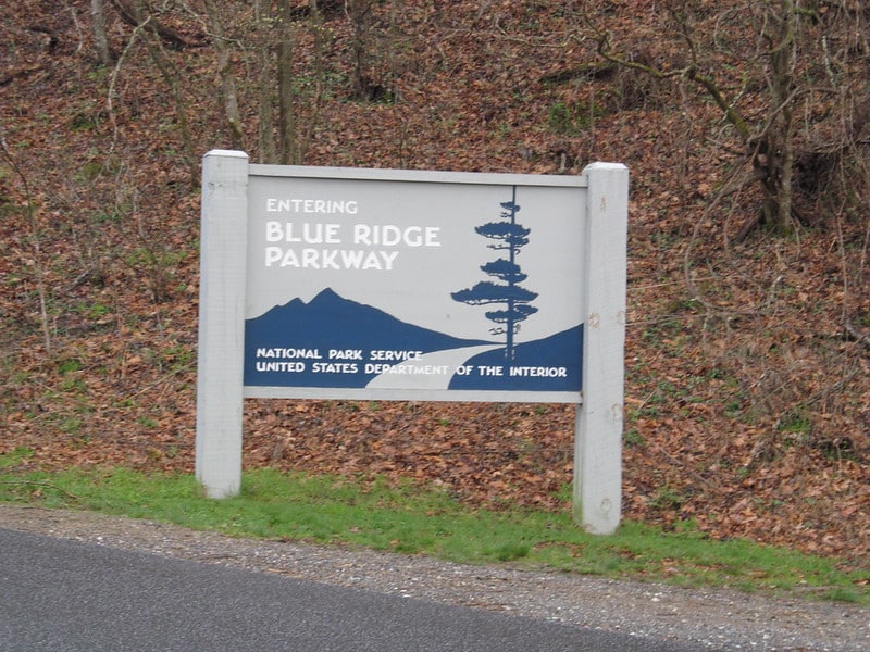
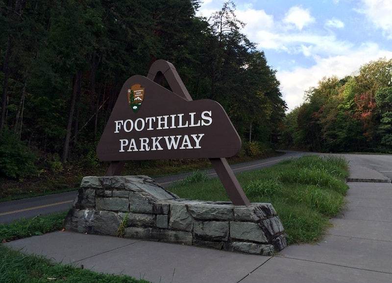
There are also three signs that I could find in relation to the scenic byways through or near the park. The Foothills Parkway and Blue Ridge Parkway both have signage at or near their intersections with the park’s boundary.
Townsend Entrance (Northwest)
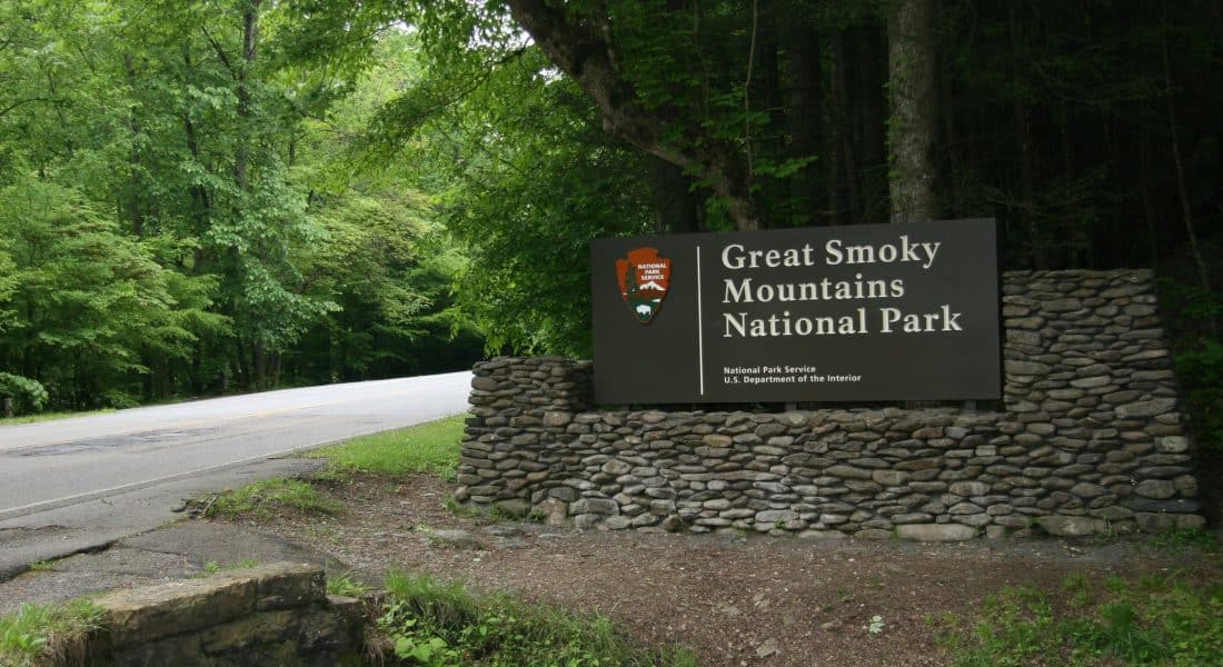
Address: Townsend Entrance Road, Blount County, TN 37882
GPS: 35.66765, -83.71518
The Townsend entrance is further west of the more popular Gatlinburg/Sugarland entrance, which is about 40 minutes away. This is a popular entrance when visiting Cades Cove.
Gatlinburg Entrance (North)
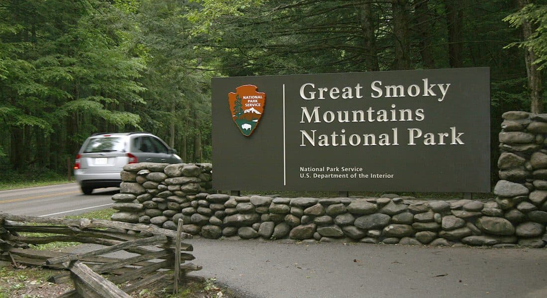
Address: 1287-1225 Parkway, Gatlinburg, TN 37738
GPS: 35.70349, -83.52498
Also known as the Sugarlands Entrance, this is the most popular place for photos with the park’s entrance sign. It is also the most used entrance when coming from the north, as it sits right along highway US-441. On the opposite side of the park along US-441 sits the Oconaluftee entrance, 32 miles away.
About halfway down US 441 is the Ben Morton Overlook, which is a high point along the road that offers fantastic views of the valley. This entrance is also only 2 miles from the Sugarlands Visitor Center.
Oconaluftee Entrance (South)
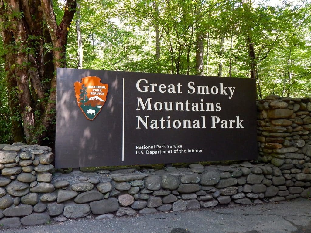
Address: 116-326 Newfound Gap Rd, North Carolina
GPS: 35.50026, -83.30024
Also referred to as the Cherokee Entrance, this is the southern entrance to the park along US-441. Just north of the town of Cherokee, NC, this entrance is only about a mile from the southernmost Oconaluftee Visitors Center.
Old Great Smoky Mountain Signs
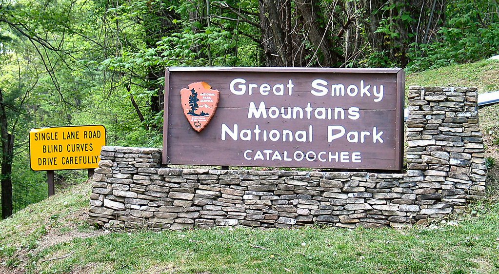
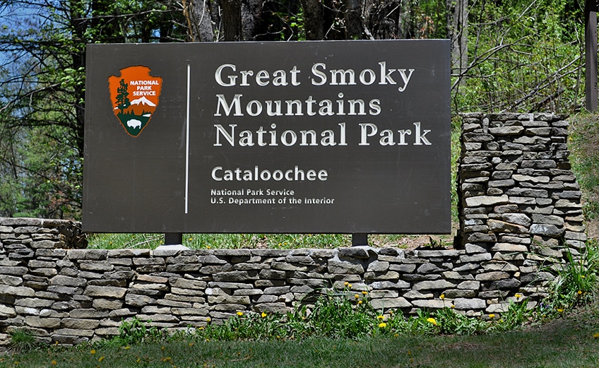
This picture is of the minor entrance sign along Cove Creek Trail in the Cataloochie section of the park. On the left is the old sign, with the new (and current) one on the right.
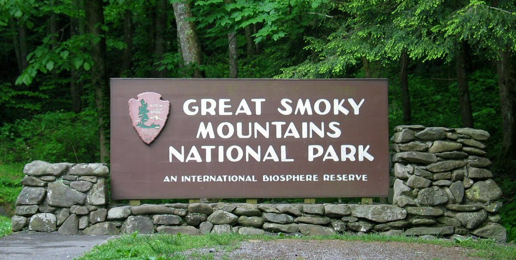
The picture above is the original wooden sign at the Townsend entrance. This sign existed until 2007-2008 until it and the others like it were replaced with metal ones instead.
