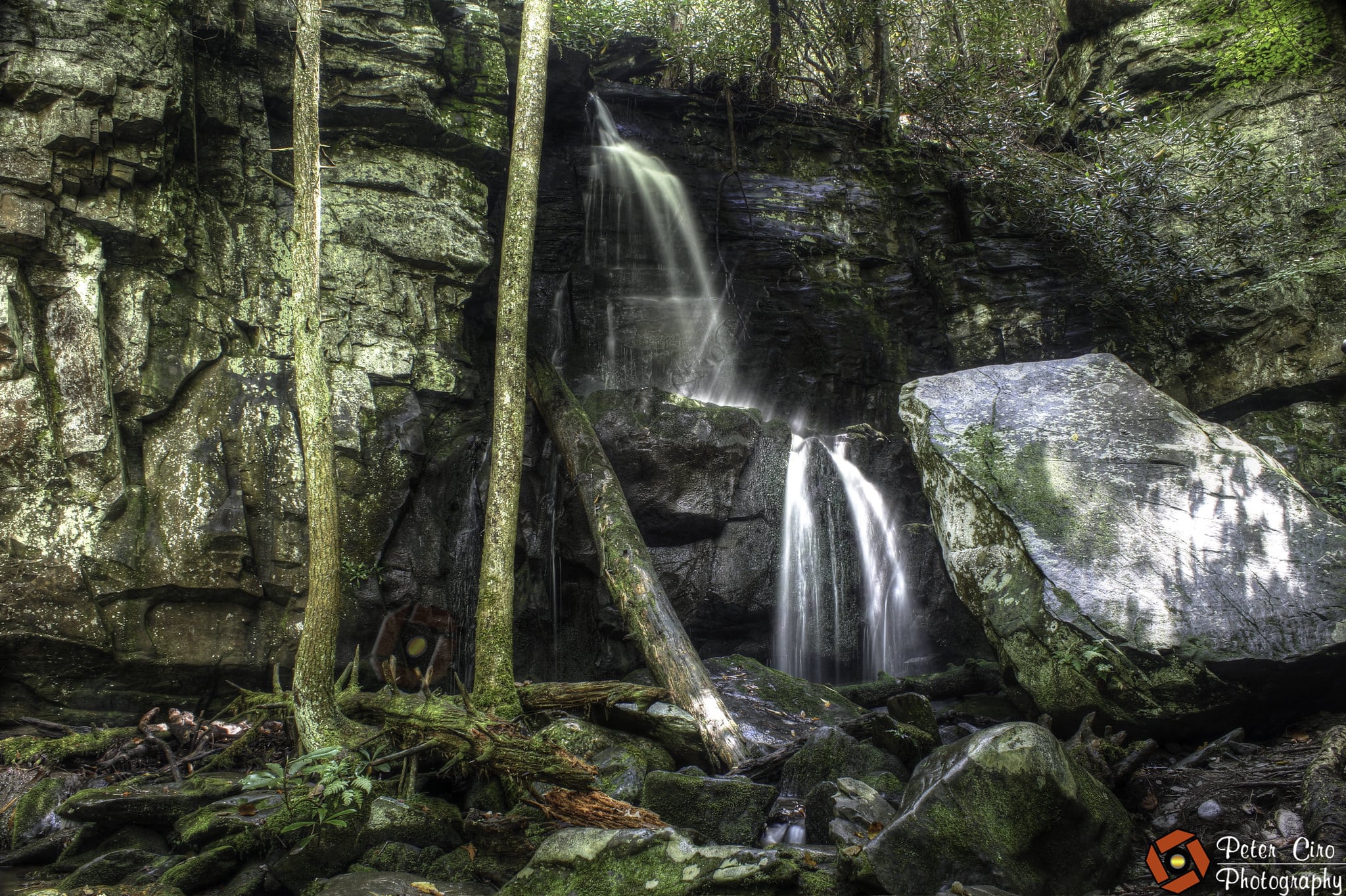
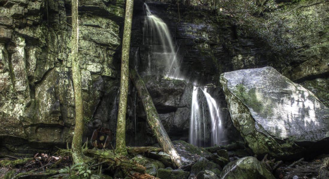
Baskins Creek Falls in the Smoky Mountains
The Great Smoky Mountains National Park is a natural wonder that spans over 800 square miles in the states of Tennessee and North Carolina. The park is known for its diverse landscape, including lush forests, wildflowers, and cascading waterfalls. One of the most popular waterfalls in the park is the Baskins Creek Falls, a breathtaking viewpoint that offers panoramic views of the surrounding valley and mountains.
Getting to Baskins Creek Falls
The trailhead for Baskins Creek Falls is located along the Roaring Fork Motor Nature Trail. More than likely, if you are visiting the Smoky Mountains, then you’ll find yourself on this road at some point – it is quite popular.
Physical Address of the Trailhead: 1860 Roaring Fork Rd, Gatlinburg, TN 37738
GPS Coordinates: 35.677468, -83.478524
Roaring Fork Nature Trail is a paved one-way road, so you’ll need to reach it via Cherokee Orchard Road, just south of Gatlinburg. Once you turn onto Roaring Fork Road, the parking area for the trailhead is less than two-tenths of a mile on your left.
The pull off has room for maybe two cars. The trailhead will be marked with a small brown sign with BASKINS CREEK TRAIL written on it. If those two spots are full (which they will likely be during the summer), there are a few extra spots just further down the road, about a five-minute walk from the trailhead. If those are full, check out the Rainbow Falls overflow parking lot instead.
Parking itself is free at the trailhead, but if you plan to park for longer than 15 minutes at a time, then you now need a parking tag inside Great Smoky Mountains NP. The prices range from $5 per day to $15 a week, and $40 per year. The tags can be purchased either online or at a visitor center within the park.
Hiking the Baskins Creek Trail
If you were lucky enough to get one of the two parking spots, congratulations! The trail can become slippery and muddy if it rains (which it frequently does here), so come prepared with hiking shoes that you don’t mind getting a little dirty.
The trail won’t be too busy, mostly due to the limited parking. If you can get a parking spot, consider yourself lucky. You will get to enjoy a wonderful hike and waterfall without too many crowds!
The trail is all downhill to the waterfall, then all uphill on the way back. The elevation gain on the way back is over 900 feet. This is the only reason the trail is rated as a moderate difficulty instead of easy.
| Route Type | Out-and-Back |
| Hiking Distance | 3.1 miles |
| Difficulty Level | Moderate |
| Elevation Gain | 912 feet |
| Dogs Allowed? | No |
| Fees | Free Entrance, Paid Parking Tag |
The trail itself is quite easy to hike, and easy to follow. There is a bit of a rock scramble halfway down to the waterfall, but it’s not terribly difficult to get over. There are also a couple of places where you have to cross the creek, but they are manageable.
Weather in Great Smoky Mountains National Park
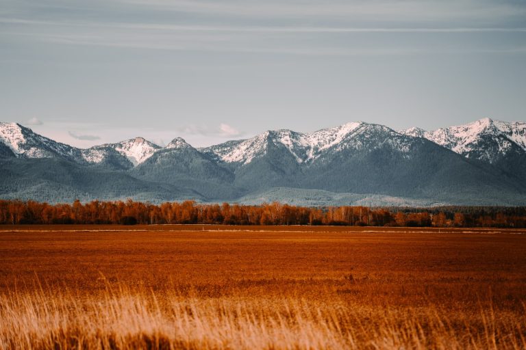
Fall is a particularly beautiful time to visit The Smokies, with the leaves turning brilliant shades of orange, yellow, and red.
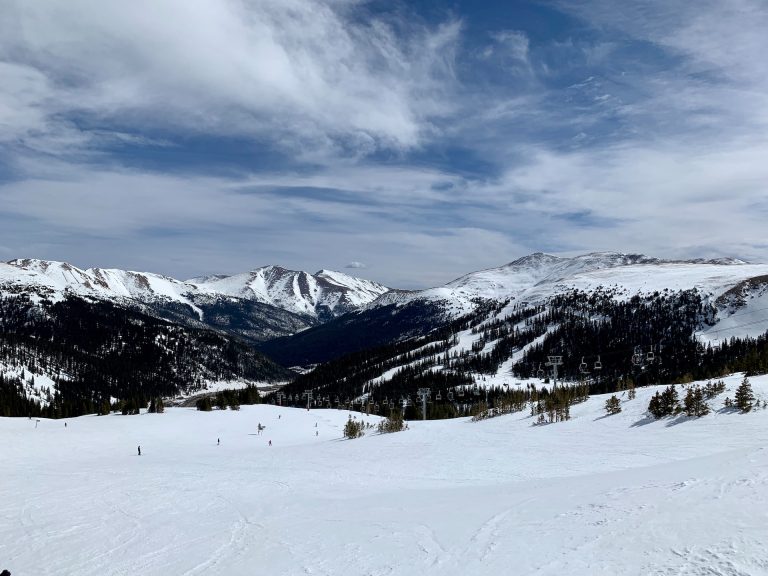
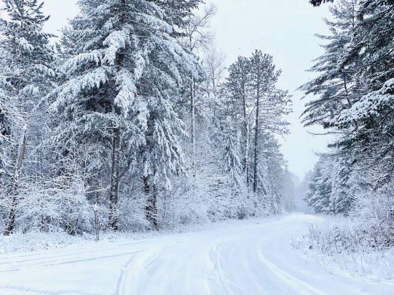
Winter can bring snow and icy conditions, but it also offers the opportunity to see the park’s frozen waterfalls and to enjoy winter sports such as cross-country skiing and snowshoeing. Spring is a great time to see the wildflowers and the park’s diverse bird population. The Newfound Gap Road is not closed during winter, so the overlook should always be accessible – albeit (maybe) a bit icy.
Spring sees the most rain, and daytime highs in the 50s and 60s. The most visitors show up in Summer, with almost 2 million people seeing the Smoky Mountains in July each year. Summer temps are in the 80s and 90s, and frequent thunderstorms are common.
