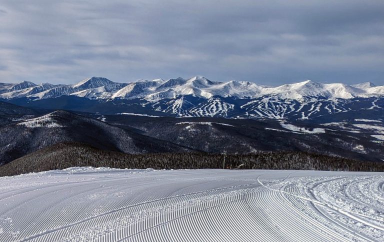
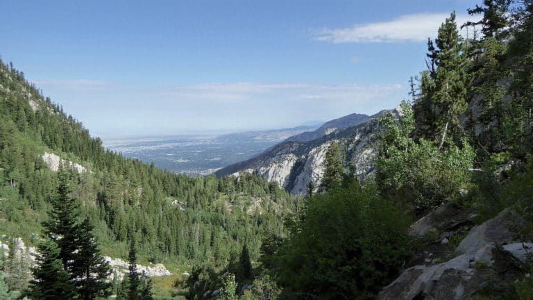
Crossing Berthoud Pass (US 40) in the Rockies
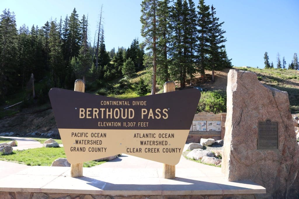
Berthoud Pass is a high mountain pass (11,307 feet) in the Rocky Mountains of central Colorado. The pass is located about one hour west of Denver, and provides a high route between upper Clear Creek Canyon and the Fraser River in Middle Park to the north. The pass traverses the continental divide at the Front Range, on the border between Clear Creek County and Grand County. The continental divide here flows into the Atlantic Ocean from the Clear Creek side, and into the Pacific Ocean on the Grand County side.
The pass is named for Edward L. Berthoud, the chief surveyor of the Colorado Central Railroad during the 1870s. He discovered the pass in July 1861 while surveying a possible route for the railroad. Berthoud reported that the pass was suitable as a wagon road, but not as a railroad. Berthoud Pass has steep grades on either side (6.3%), to go along with its winding switchbacks and many tight spots.
Getting to Berthoud Pass
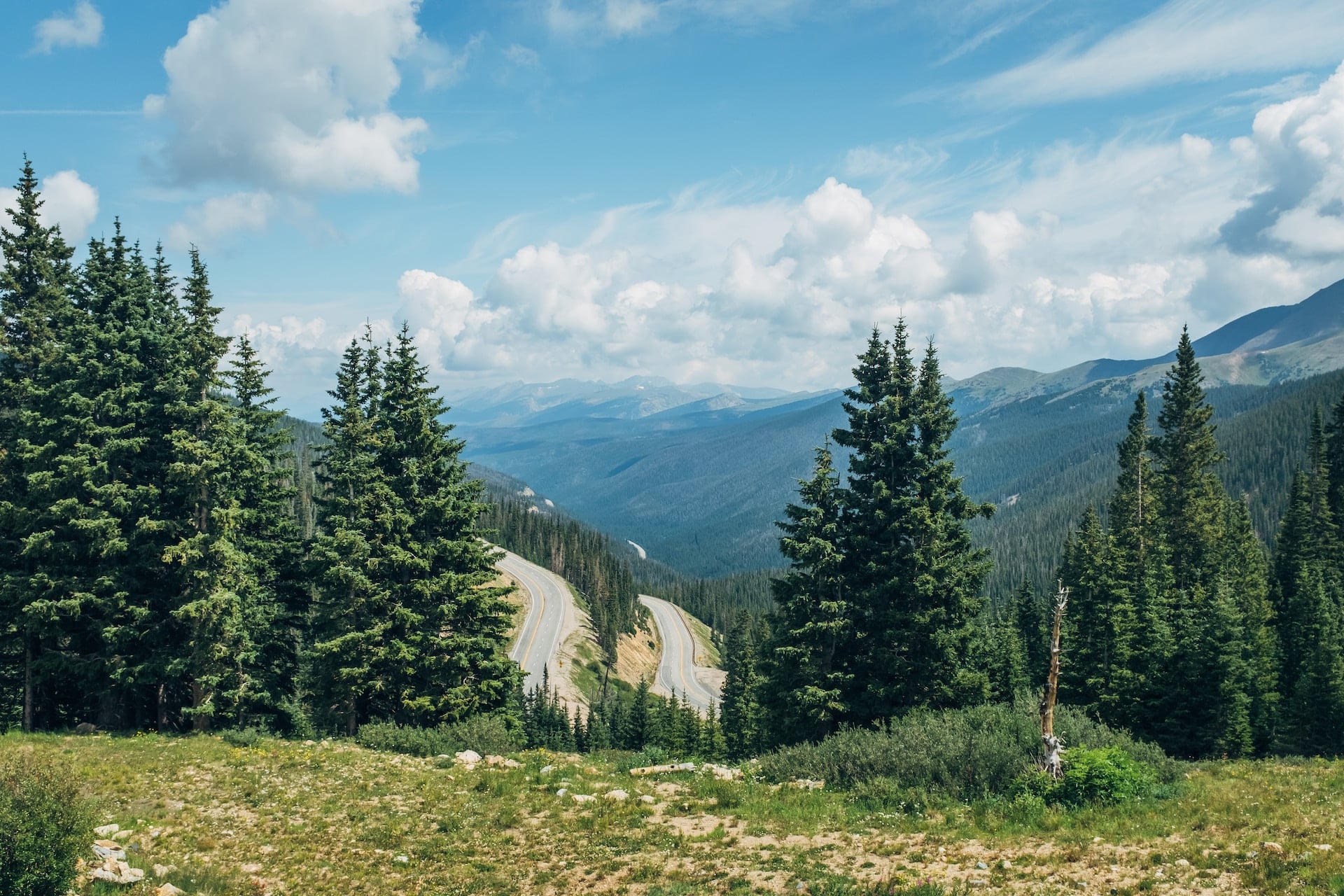
If you exit (or enter) Rocky Mountain National Park via the Lake Granby entrance, then there is a good chance you’ve crossed over Berthoud Pass. Located along US 40 on the border of Grand and Clear Creek counties, Berthoud Pass is noted for its scenic overlook of the Front Range of the Rockies.
The pass itself is located between the towns of Fraser to the north (west), and Berthoud to the south (east) in the Arapaho National Forest. In between is a stretch of US 40 that includes the esteemed ski resort Winter Park.
Berthoud Pass is at milepost 240 on US-40, about 5.8 miles west of Henderson Mine Road. The parking lot for the pass is on the right when traveling west. The parking area is paved and has room for dozens of vehicles.
This is the view from the small building at the north end of the parking lot. From this vantage point, you are looking down onto US 40 going towards Frasier.
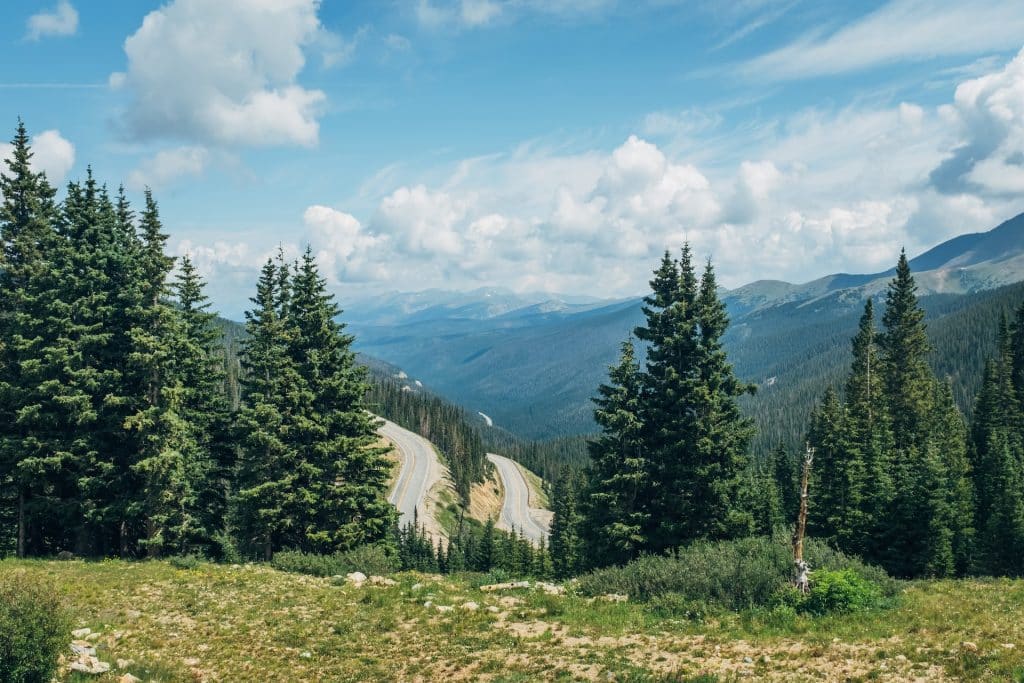
The small building is labeled as a US Forest Service Warming Hut, and is set up as a rest stop for Highway 40 travelers. It has a few vault toilets, however is not staffed. It also has a few interpretive exhibits setup outside that talk about the discovery of Berthoud Pass and the Continental Divide.
There are a number of hiking trails that can be accessed from Berthoud Pass.
The Berthoud Pass Trail starts at the parking area, and crosses US-40. This 6.2 mile out-and-back trail heads out to the Vasquez Peak Wilderness. It is considered a moderately difficult trail, mostly because of the 1,591-foot elevation gain.
Going the opposite direction from the parking area is the Mount Flora Trail. This trail is also a 6.2 mile out-and-back trail, but it instead takes you into the James Peak Wilderness. About 3/4 of a mile into the hike is the trailhead for the Colorado Mines Peak Trail. Both of these trails are considered moderately difficult due to their elevation gains of over 1,100 feet each.
