Hiking Around the Rio Grande Gorge Bridge
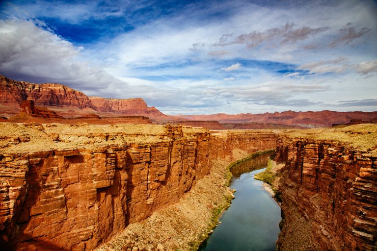
The Rio Grande Gorge is a dramatic natural feature located in northern New Mexico, north of Santa Fe, near Taos. It is a deep and narrow gorge carved by the Rio Grande, one of the longest rivers in North America. In fact, the Rio Grande was designated as a Wild and Scenic River way back in 1968!
At its deepest point, the Rio Grande Gorge reaches a depth of around 800 feet, and stretches almost 50 miles in length. The steep walls of the gorge showcase layers of volcanic basalt flows of the Taos Plateau volcanic field. The Rio Grande Gorge is technically a canyon, which was carved by erosion over the last several million years.
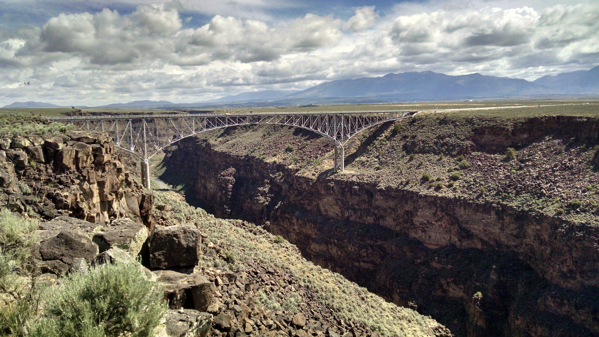
One of the most notable attractions in the Rio Grande Gorge is the Rio Grande Gorge Bridge. Spanning across the gorge, the bridge is an iconic landmark and a popular tourist destination. It is located along U.S. Route 64, about 10 miles (16 km) northwest of the town of Taos.
Constructed in 1965, the Rio Grande Gorge Bridge towers about 600 feet above the river below, making it the 10th highest bridge in the US. Not only is it high, it is really long as well. It spans a total of 1,280 feet across the canyon, and it’s center arch over the river is 600 feet long.
These impressive numbers make the Rio Grande Gorge Bridge a tourist attraction in and of itself. The best way to experience this bridge is to hike the surrounding trails. Here are some of the best trails surrounding the gorge and its iconic bridge.
Trails Near the Rio Grande Gorge Bridge
There are two ways you can experience the Rio Grande Gorge Bridge up close. The first is by using the walkway onto the bridge, and the second is following the gorge’s rim south of the bridge itself.
Onto the Rio Grande Gorge Bridge
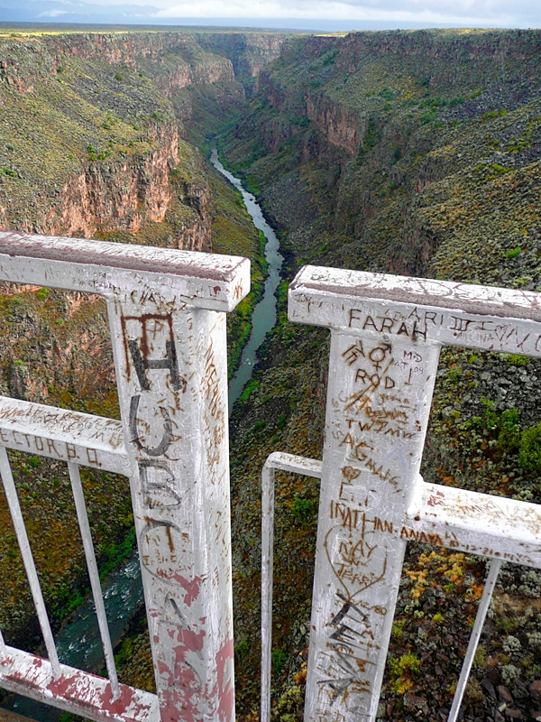
| Distance | ~4,000 feet (0.7 miles) round trip |
| Difficulty | Easy |
| Elevation Gain | None |
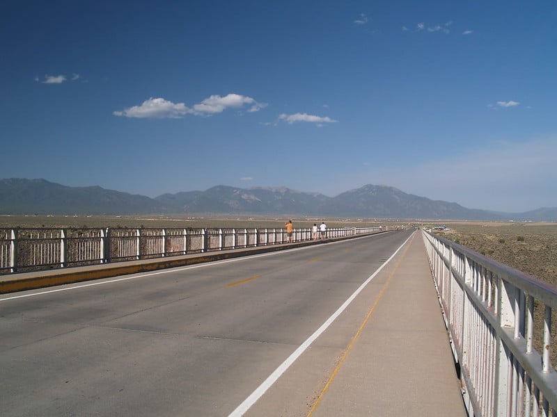
There are parking areas on either side of the bridge, but the eastern lot gives you the shortest walk onto the bridge. The path from the parking lot to the bridge is short (0.2 miles), flat and not paved. Walking out onto the bridge might be scary for someone who is afraid of heights. There is shoulder-height metal railing along both sides of the bridge, but the concrete walkway is not very wide. You’ll find yourself right next to the cars as they pass by you.
Rio Grande Gorge West Rim Trail
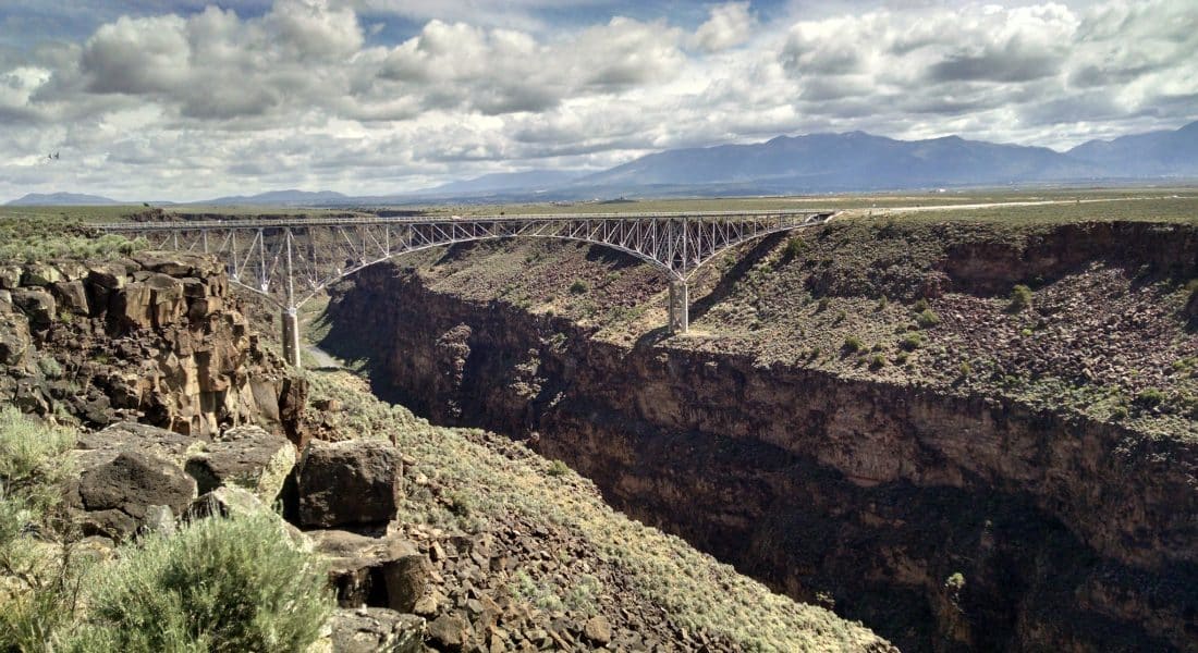
| Distance | 4 miles round trip |
| Difficulty | Easy |
| Elevation Gain | 232 feet |
From the trailhead on the western end of the bridge, the Rio Grande Gorge West Rim Trail stretches 2 miles down the gorge’s western rim. This trail is not marked clearly, but you should be able to see where others are walking, as it is a fairly popular trail during the height of vacation season. If you would rather not hike the full distance, at least consider walking about a 1/2 mile down for a spectacular view of the bridge.
Other Trails in the Rio Grande Gorge
There are other trails in the Rio Grande Gorge nearby to this iconic bridge. These trails will likely give you at least a glimpse of the bridge off into the distance. There are more trails in the Rio Grande Gorge, most notably the Gorge Trail, but that is quite a distance from the bridge itself.
| Trail Name | Difficulty | Distance |
|---|---|---|
| Slide Trail | Easy | 2.7 miles |
| La Vista Verde Trail | Easy | 2.3 miles |
| Picturis Trail | Hard | 1.4 miles |
| Big Arsenic Trail | Moderate | 2.4 miles |
| Little Arsenic Trail | Hard | 2.2 miles |
| Chiflo Trail | Moderate | 0.7 miles |
