Badlands National Park
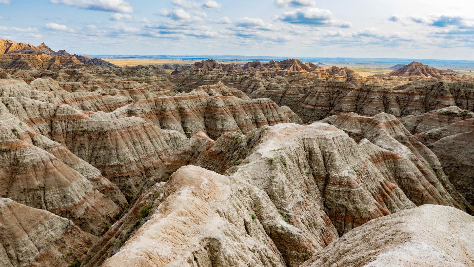
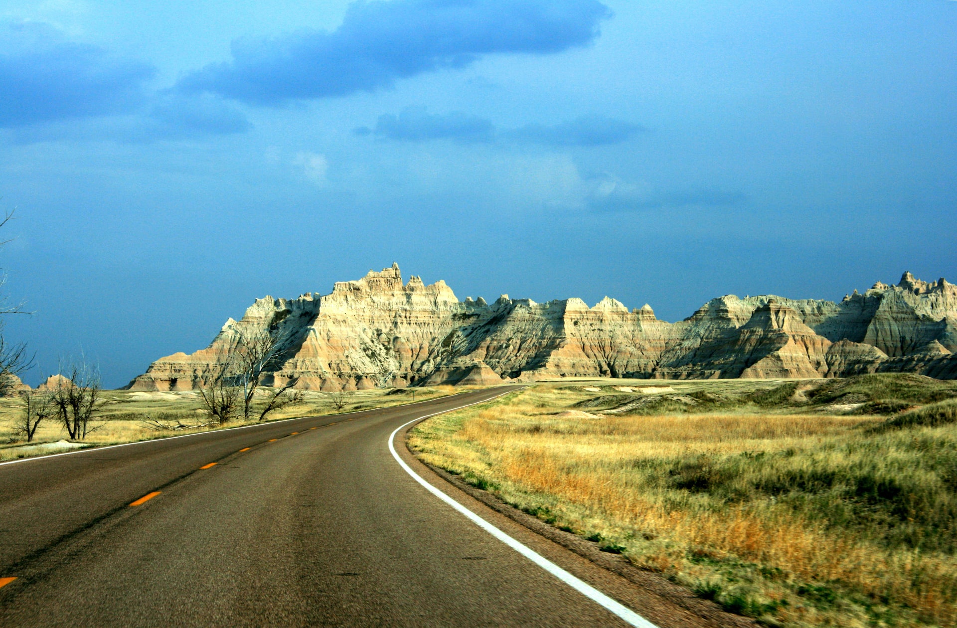
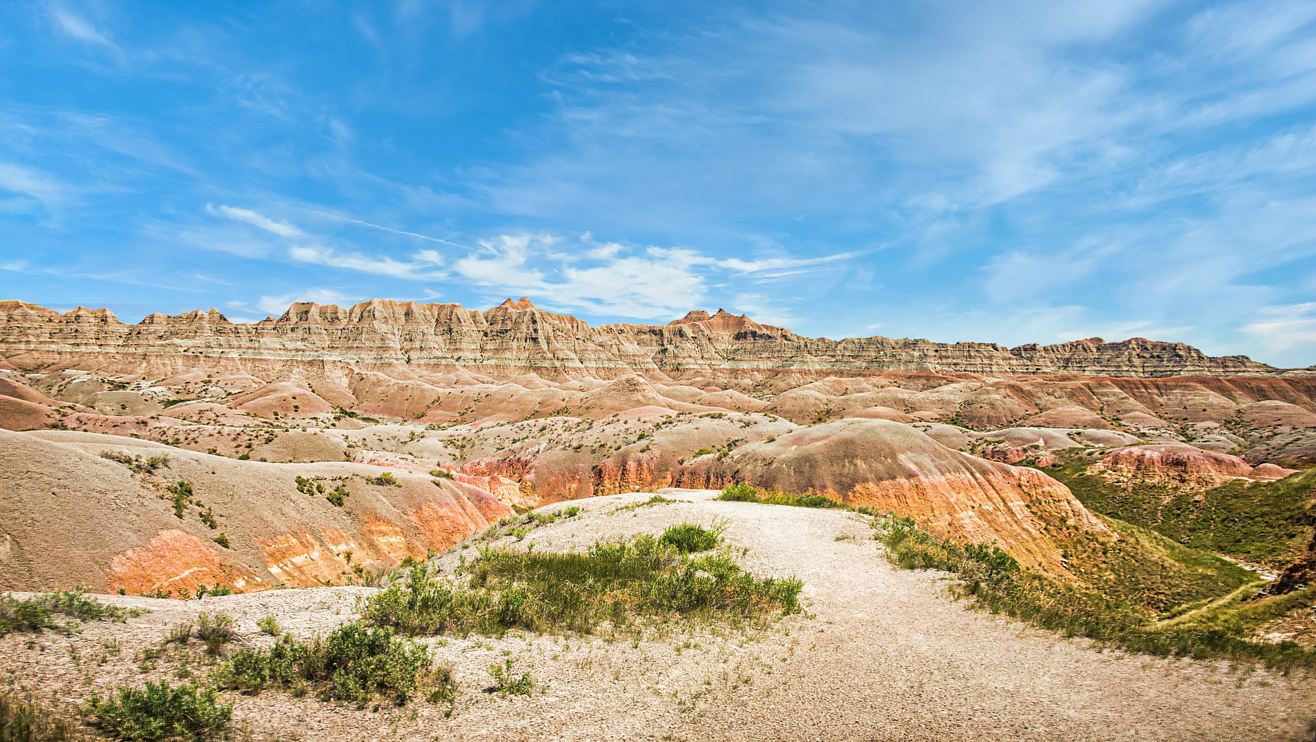
Badlands National Park in the Black Hills of South Dakota offers sights that look to be out of science fiction books. These deposited, then eroded rock formations offer flowing colors and landscapes you likely have not seen before. Badlands National Park consists of eerie terrain featuring twisted spires and pinnacles. These rock formations transform as sunlight hits them at different times of the day. This park is home to bison herds, pronghorn and bighorn sheep, deer, fox and coyotes.
Badlands National Park is divided into three units: the North Unit, the Stronghold (also called South), and Palmer Creek Units, both of which are within the Pine Ridge Indian Reservation.
The landscape is so unique, that it was added to the National Park system in 1939, well before some other more well known parks.
This park is usually visited alongside Wind Cave National Park, which is just a little over 50 miles away. However, some of the more popular areas nearby include Mount Rushmore National Memorial, Devil’s Tower and Custer State Park.


Why is it called Badlands?
The Lakota people that occupied much of what is now South Dakota, dubbed this region around the national park “mako sica,” roughly translated to “bad lands”. Long ago they noticed that its rocky terrain, lack of water and extreme temperatures made it extremely difficult to traverse, and thus the name “bad lands” was born. French-Canadian fur trappers also called it “les mauvais terres pour traverse,” or “bad lands to travel through.”
Today, badlands have a more geological meaning. Badlands form when soft sedimentary rock is extensively eroded in a dry climate. The national park’s typical scenery of sharp spires, gullies, and ridges is a premier example of badlands topography.
Places to Stay When Visiting Badlands
The north part of the park has the most designated trails, roads, and National Park Service amenities. It also includes the Badlands Loop Road (Highway 240), which is the main route people take through the park. The southern section has only a single road and no hiking trails.
Inside the park, the Cedar Pass Lodge is your only option to stay outside of a couple of campsites we list below.
Wall, SD is the closest town outside the park at 8 miles away and has a few more options to stay at. Other nearby towns include:
- Wall, SD (8 miles away)
- Quinn, SD (13 miles)
- Wasta, SD (21 miles)
- Rockyford, SD is the nearest town to the south entrance at 24 miles away.
The main entrance to the park is the Ben Reifel Visitor Center, which is located in the northern part of the park. If wanting to maximize your visit to Badlands NP, you should also stay near the north of the park in Interior.
There is also the White River Visitor Center in the southern Stronghold section, but it is not a commonly visited spot in the park.
VISIT Badlands National Park:
Park Details
Badlands National Park was established on January 25, 1939, and has a total area of 242,756 acres (379 square miles, or 983 square kilometers).
| Address | 25216 Ben Reifel Road, Interior, SD, 57750 |
|---|---|
| Phone | 605 433-5361 |
| Hours | Open 24 hours a day, 7 days a week |
| Entrance Fee | $30 per vehicle, valid for 7 days |
| Learn More | Official Website |
When to Visit: Weather vs. Peak Visitation
Badlands National Park is the 75th most visited park in the country.
We crunched 30 years of historical weather and/or park service data to find the best months to visit Badlands National Park. We looked for the optimal temperatures, the least amount of snow and rain, and stayed away from peak visitation months if we could help it. All this data then helped us paint a picture as to what the absolute best time to visit Badlands National Park is.
Our data shows the best months to visit Badlands National Park are September, October, April & August.
| Jan | Feb | Mar | Apr | May | Jun | Jul | Aug | Sep | Oct | Nov | Dec | |
|---|---|---|---|---|---|---|---|---|---|---|---|---|
| Park Visits | 14,899 | 11,350 | 28,182 | 42,749 | 109,764 | 256,041 | 288,004 | 236,282 | 138,477 | 66,941 | 23,432 | 8,105 |
| Precipitation | 14 | 18 | 42 | 61 | 70 | 54 | 34 | 27 | 23 | 34 | 18 | 14 |
| Avg Temp | 36 | 40 | 50 | 63 | 74 | 85 | 94 | 93 | 81 | 65 | 48 | 37 |
| Max Temp | 53 | 59 | 72 | 83 | 92 | 101 | 106 | 104 | 98 | 85 | 70 | 55 |
| Avg Temp | 18 | 21 | 28 | 36 | 47 | 57 | 64 | 63 | 52 | 39 | 27 | 19 |
| Min Temp | -3 | 1 | 7 | 20 | 31 | 43 | 53 | 51 | 35 | 22 | 8 | -1 |
Badlands National Park Road Trips
Many family vacations consist of stringing one or more national parks together during a week-long trip. Creating these types of trips is our specialty! Here are the road trips we've created where Badlands National Park is visited.
| Trip Name | Trip Miles | Trip Days |
|---|---|---|
| Devils Tower, Wind Cave, Mt. Rushmore to Badlands | 444 | 7 |
Other Nearby National Park Sites
From national monuments, to historic sites to seashores and more, here are the other parks closest to Badlands National Park.
| Name | Distance |
|---|---|
| Minuteman Missile National Historic Site | 31 mi |
| Mount Rushmore National Memorial | 49 mi |
| Wind Cave National Park | 51 mi |
| Jewel Cave National Monument | 66 mi |
| Agate Fossil Beds National Monument | 111 mi |
| Devils Tower National Monument | 124 mi |
| Niobrara National Scenic River | 125 mi |
| Scotts Bluff National Monument | 146 mi |
| Fort Laramie National Historic Site | 148 mi |
| Theodore Roosevelt National Park | 227 mi |
Nearby Campsites & RV Parks
If you are looking to pitch a tent or park an RV at a campsite near Badlands National Park, here is a list of the closest campsites in the surrounding area. They all have slightly different amenitites, so its best to check them all out instead of just chosing the first on the list.
| Name | Details | Miles Away |
|---|---|---|
| French Creek | Fairburn, SD more | 27 miles |
| Cedar Pass - Badlands National Park | Cottonwood, SD more | 28 miles |
| Ellsworth AFB Military | Rapid City, SD more | 39 miles |
| Game Lodge - Custer State Park | Custer, SD more | 44 miles |
| Grace Coolidge - Custer State Park | Custer, SD more | 45 miles |
| Center Lake - Custer State Park | Custer, SD more | 46 miles |
| Little Jon Park | Rapid City, SD more | 47 miles |
| Grizzly Creek Primative | Keystone, SD more | 47 miles |
| Grizzly Bear | Keystone, SD more | 48 miles |
| Legion Lake - Custer State Park | Custer, SD more | 48 miles |
Nearest Ski Resorts
For those of you who are the diehard outdoors type, visiting a national park on a ski trip can be quite the adventure. Here are the ski resorts within 100 miles of Badlands National Park:
| Name | Location | Summit | Difficulty Score™ | Distance |
|---|---|---|---|---|
| Ski Mystic Miner | Hill City, SD | 6,850 ft | 33% | 61 mi |
| Terry Peak | Lead, SD | 7,100 ft | 41% | 77 mi |
Nearest Airports
When visiting a National park, many people are faced with either a very long drive across country, or a much shorter flight. For those of you looking to fly into Badlands National Park, we've listed the closest airports in the area.
Large Airports
A large airport has scheduled major airline service with millions of passengers per year. This type of airport always accepts international flights. Here are the closest large airports to Badlands National Park.
| Name | Code | City | Distance |
|---|---|---|---|
| Denver International Airport | DEN | Denver, CO | 291 mi |
| Minneapolis–Saint Paul International Airport | MSP | Minneapolis, MN | 465 mi |
| Winnipeg / James Armstrong Richardson International Airport | YWG | Winnipeg, MB | 492 mi |
Medium Airports
A medium-sized airport has scheduled regional airline service. This type of airport may or may not accept international flights. Here are the closest medium-sized airports to Badlands National Park.
| Name | Code | City | Distance |
|---|---|---|---|
| Rapid City Regional Airport | RAP | Rapid City, SD | 34 mi |
| Pierre Regional Airport | PIR | Pierre, SD | 118 mi |
| Western Neb. Rgnl/William B. Heilig Airport | BFF | Scottsbluff, NE | 141 mi |
| Gillette Campbell County Airport | GCC | Gillette, WY | 156 mi |
| North Platte Regional Airport Lee Bird Field | LBF | North Platte, NE | 203 mi |
| Casper-Natrona County International Airport | CPR | Casper, WY | 207 mi |
| Cheyenne Regional Jerry Olson Field | CYS | Cheyenne, WY | 214 mi |
Credits: Campground data provided by USCampgrounds.info. Map shapes from CartographyVectors. Weather data from NOAA. Airport data from OurAirports.com. Images from Unsplash, Flickr and Parks&Trips. All data has also been updated and augmented by Parks&Trips.