East vs. West Saguaro National Park
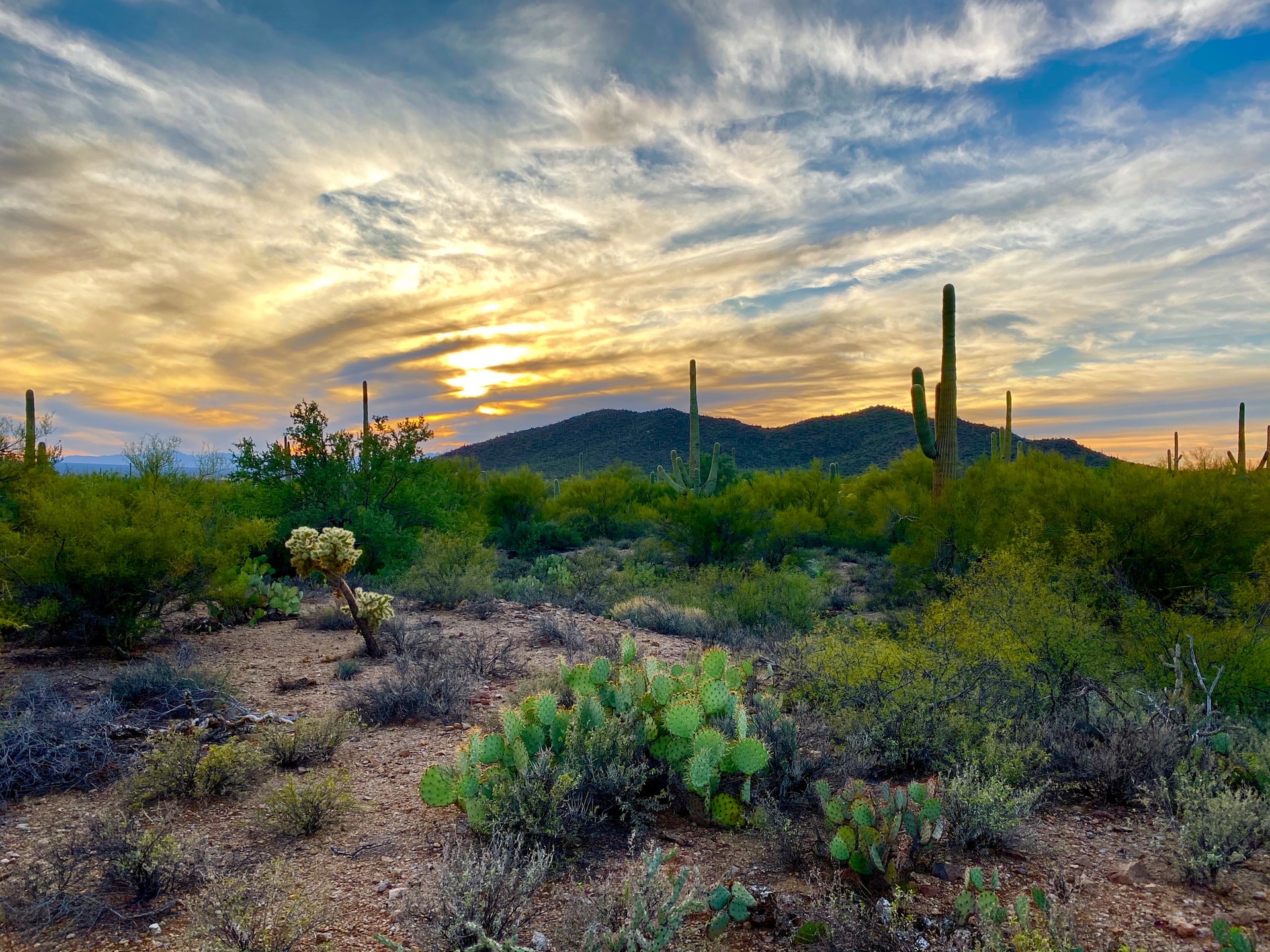
Saguaro National Park is a desert oasis located in southern Arizona. Established in 1994, it is divided into two sections: the east and west districts. Both sections of the park are home to thousands of saguaro cacti, which can grow up to 60 feet tall and live for over 150 years. However, the two sections of the park differ in terms of their location, geography, flora and fauna, recreational opportunities, cultural significance, and conservation efforts.
Which Side Should You Visit?
| West Section | East Section |
|---|---|
| More Visitors | Less Visitors |
| Dirt Roads | Paved Roads |
| Less Hiking Trails | More Hiking Trails |
| More Mountainous | Less Mountainous |
| No Camping Allowed | Camping Allowed |
| Smaller Park | Much Larger (3x) |
| Bajada Loop Scenic Drive (5.2 miles) | Cactus Forest Loop (8 miles) |
| Lower Elevation | Higher Elevation |
| Denser Vegetation | More Desert-like |
| More Cacti | Less Cacti |
Bottom Line: Both sections have their pros and cons. I like the Western section because it has more cacti along the trails with the backdrop of the higher mountains. However, I like the scenic drive in the East more. Read on to find out more differences between the two sides of Saguaro National Park.
Location
The east and west sections of Saguaro National Park are located on opposite sides of Tucson, Arizona. The west section is located about 15 miles west of the city, while the east section is located about 10 miles east of Tucson. The two opposite visitor centers are 35 miles, or about 50 minutes apart from each other.
West Saguaro is known as the Tucson Mountain District (RMD). The visitor center in the West is the Red Hills Visitor Center, located at 2700 N Kinney Rd, Tucson, AZ 85743.
East Saguaro is known as the Rincon Mountain District (RMD). The visitor center in the East is the Rincon Mountain Visitor Center, located at 3693 S Old Spanish Trail, Tucson, AZ 85730.
Both sections of the park use the same entrance pass. The current cost (2023) is $25 per vehicle, or $15 per individual, and is good for 7 days from the date of purchase. Annual passes are also available, and the American The Beautiful pass is accepted here because it is, of course, a National Park.
Terrain & Geography
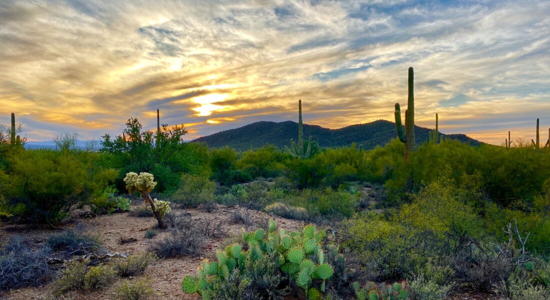
The west section of the park is characterized by its rugged terrain, and dense vegetation. It is home to the Tucson Mountains, which rise to 4,687 feet above sea level. The park’s highest peak, Wasson Peak, is located in the west district and offers stunning views of the surrounding desert landscape. The west section is also home to a number of canyons, including the picturesque Bajada Loop Drive, which takes visitors through a desert valley surrounded by towering saguaro cacti.
Despite the size difference, the Western section actually receives more visitors per year.
The east section of the park is more mountainous than the west. It is also three times larger than the west, making for a more remote area than what the west offers.
It is located in the Rincon Mountains, which rise up to 8,000 feet above sea level. The east section is also home to the Mica Mountain range, which includes Mica Mountain, the highest peak in the park at 8,666 feet. The east section is home to a number of canyons, including the scenic Cactus Forest Loop Drive, which winds through a forest of saguaro cacti and offers stunning views of the surrounding mountains.
Plants & Animals
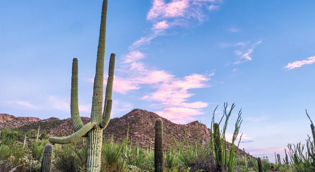
Both sections of Saguaro National Park are home to a wide variety of plant and animal species. However, the two sections differ in terms of their plant communities and wildlife populations.
The west section of the park is home to a wider variety of plant species, including saguaro cacti, cholla cacti, prickly pear cacti, and creosote bushes. The park’s plant life is adapted to the arid desert climate, with many species relying on the monsoon rains for survival. The west section is also home to a variety of wildlife, including roadrunners, horned lizards, Gila monsters, kangaroo rats, and collared peccaries.
The east section of the park is home to a different variety of plant species, including saguaro cacti, yucca plants, and agave plants. The park’s plant life is adapted to the cooler, wetter climate of the Rincon Mountains.
Recreational Opportunities
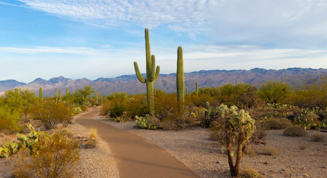
Both sections of Saguaro National Park have their own scenic drive loops. The Cactus Forest Loop scenic drive (8 miles) in the East is the clear favorite, since it offers amazing views with easier driving along its paved path. In the west, the loop is the Bajada Loop Drive (5.2 miles).
The west section of the park is home to a number of hiking trails, although, not as many as the east. They range from easy nature walks to strenuous backcountry hikes. The park’s most popular trail is the King Canyon Trail, which leads hikers through a desert canyon surrounded by towering saguaro cacti. The west section is also home to the Signal Hill Trail, which features a number of petroglyphs left behind by Native American cultures. Picture Rock Petroglyphs is also a great lace to see the remnants left behind hundreds of years ago.
The east section of the park also offers a variety of hiking trails, also ranging from easy nature walks to strenuous backcountry hikes. The park’s most popular trail is the Douglas Spring Trail, which leads hikers through 13 miles of saguaro cacti forests and stunning views of the Rincon Mountains. The east section is also home to the easy 1.1-mile Freeman Homestead Trail, which leads visitors through the ruins of an old homestead and offers a glimpse into the area’s pioneer history.
Cultural Significance
Both sections of Saguaro National Park have cultural and historical significance. However, the two sections differ in terms of their Native American cultural sites, historical landmarks, and other points of interest.
The west section of the park is home to a number of Native American cultural sites, including the Hohokam Petroglyphs, which feature over 200 petroglyphs left behind by the Hohokam culture over a thousand years ago. The park is also home to the ruins of the Golden Gate Mine, which was once one of the largest gold mines in Arizona. The mine operated from the late 1800s until the early 1900s and played an important role in the development of the area.
The east section of the park is home to a different variety of cultural and historical sites. The park is home to the ruins of the Manning Camp, which was once a popular destination for hikers and campers in the early 1900s. The camp was named after Levi Manning, a local rancher who used the area as a base for his cattle operations. The park is also home to the ruins of the Romero Ruin, which was once a Hohokam village and is now an important archaeological site.
