Arches National Park
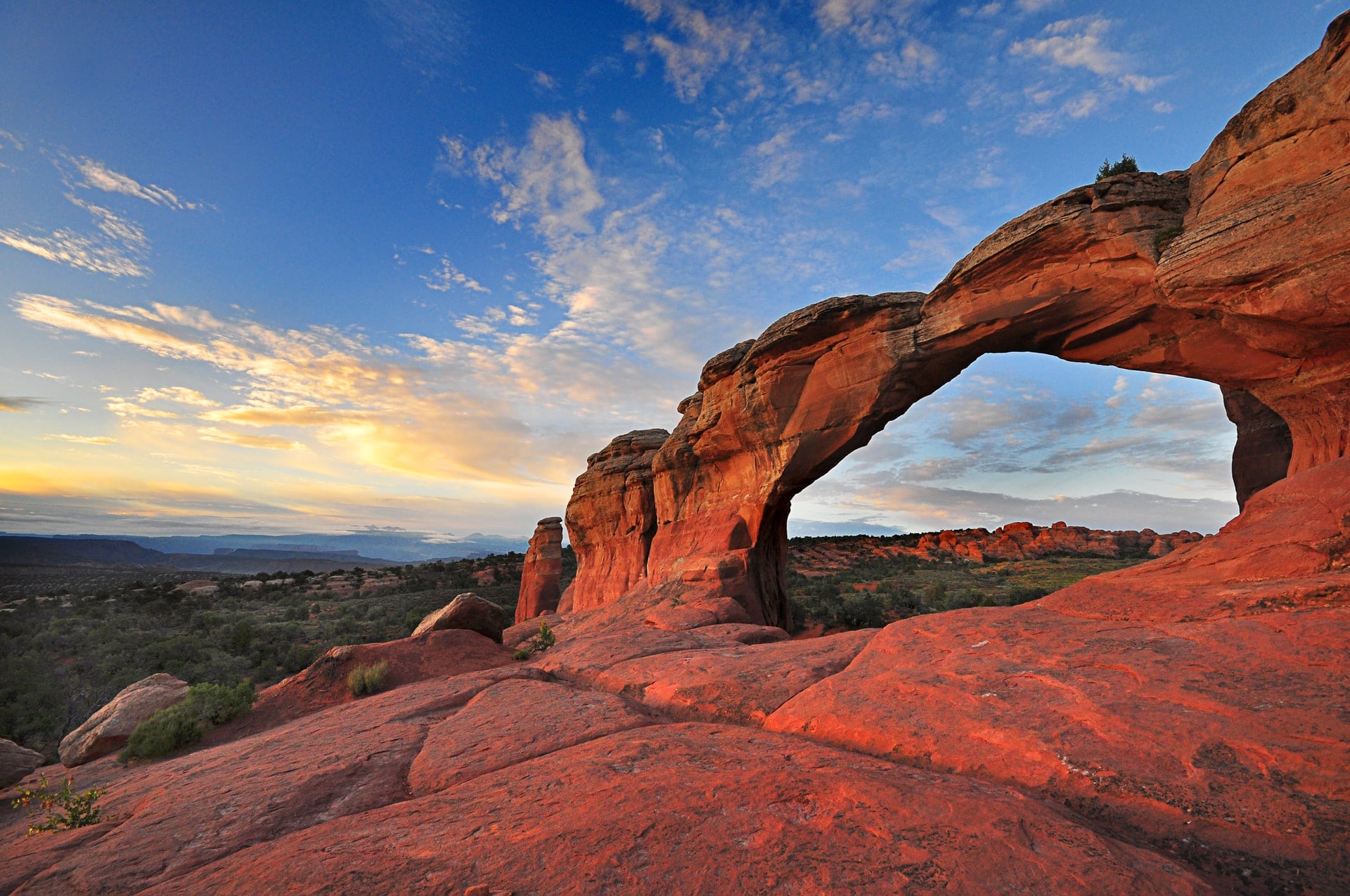
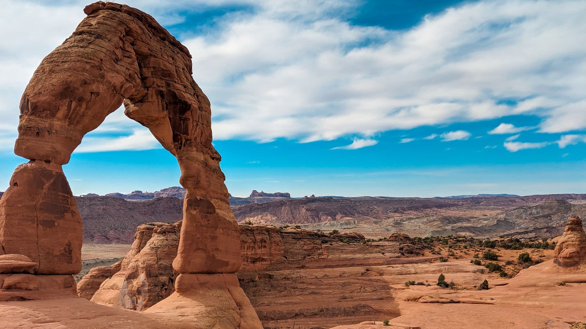
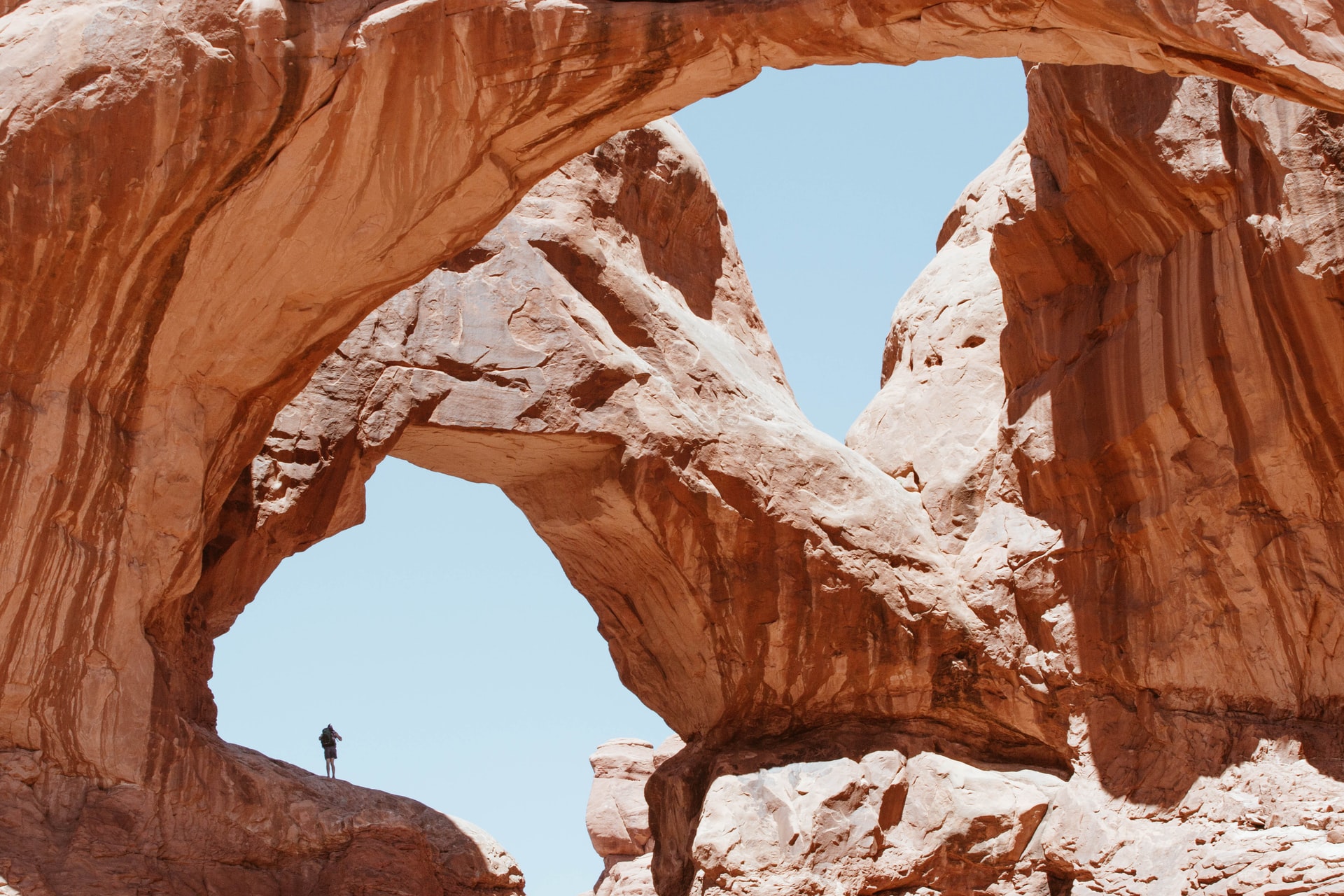
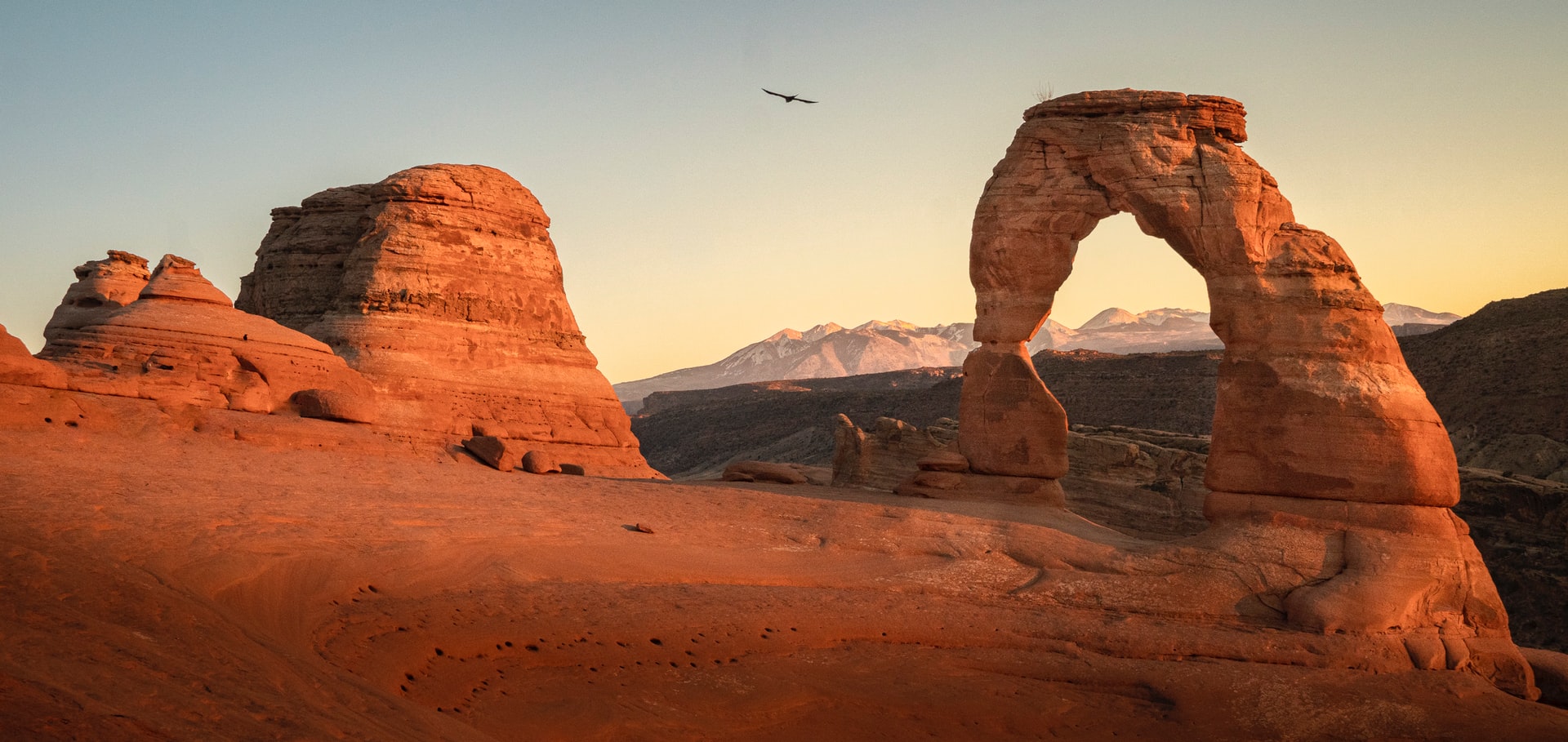
Arches National Park has more than 2,000 natural sandstone arches. The massive, red-hued Delicate Arch is in the east, and the long, thin Landscape Arch stands in Devils Garden to the north. Other geological formations inside the park include Balanced Rock, which towers over the desert landscape in the middle of the park.
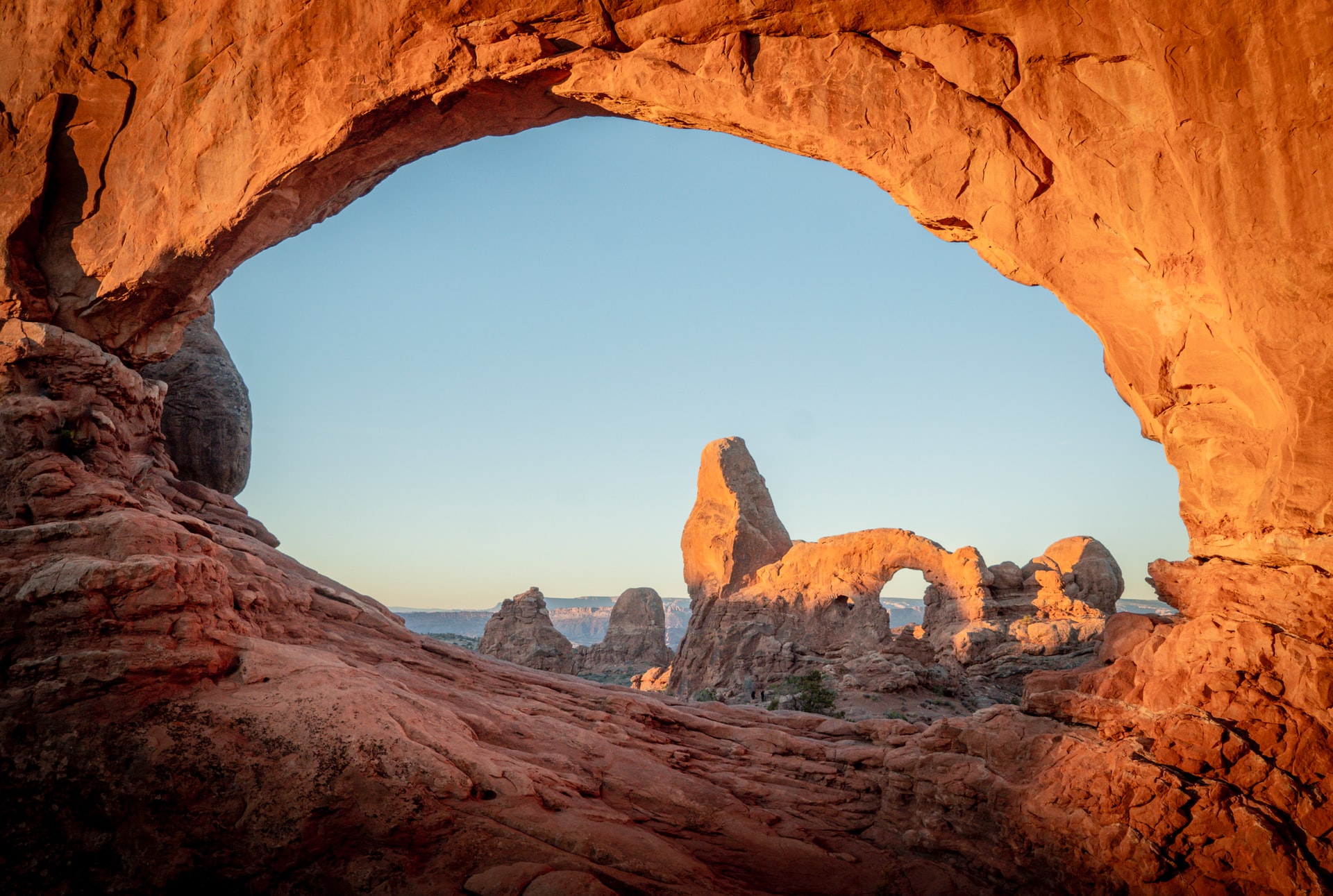
If you are in Arches for only a day, drive to the Windows Section of the park. The 24-mile round trip drive gives you looks at some of the park’s largest and most spectacular arches. To visit all the stops and hike a few short trails would take an entire day. After a full day of hiking, find the perfect spot to watch the sunset here as well.
Staying in Arches National Park
There are a few towns to stay in when visiting Arches National Park.
- Moab, UT (5 miles away)
- Spanish Valley, UT (15 miles)
- Castle Valley, UT (22 miles)
- Thompson Springs, UT (34 miles)
- La Sal, UT (37 miles away)
- Green River, UT (48 miles away)
VISIT Arches National Park:
Park Details
Arches National Park was established on April 12, 1929, and has a total area of 76,679 acres (120 square miles, or 310 square kilometers).
| Address | US 191, Moab, UT, 84532 |
|---|---|
| Phone | 435 719-2299 |
| Hours | Open year-round, 24 hours a day |
| Entrance Fee | $30 per vehicle, valid for 7 days |
| Learn More | Official Website |
When to Visit: Weather vs. Peak Visitation
Arches National Park is the 57th most visited park in the country.
We crunched 30 years of historical weather and/or park service data to find the best months to visit Arches National Park. We looked for the optimal temperatures, the least amount of snow and rain, and stayed away from peak visitation months if we could help it. All this data then helped us paint a picture as to what the absolute best time to visit Arches National Park is.
Our data shows the best months to visit Arches National Park are May, June, November & August.
| Jan | Feb | Mar | Apr | May | Jun | Jul | Aug | Sep | Oct | Nov | Dec | |
|---|---|---|---|---|---|---|---|---|---|---|---|---|
| Park Visits | 48,725 | 53,986 | 151,074 | 193,912 | 225,789 | 238,499 | 211,393 | 166,747 | 191,917 | 169,937 | 98,362 | 53,900 |
| Precipitation | 16 | 11 | 10 | 10 | 5 | 2 | 2 | 4 | 7 | 14 | 12 | 16 |
| Avg Temp | 39 | 45 | 56 | 66 | 77 | 87 | 93 | 90 | 81 | 67 | 52 | 40 |
| Max Temp | 49 | 57 | 70 | 80 | 88 | 96 | 99 | 96 | 91 | 80 | 66 | 52 |
| Avg Temp | 26 | 29 | 32 | 37 | 45 | 51 | 61 | 60 | 50 | 39 | 30 | 26 |
| Min Temp | 13 | 18 | 23 | 27 | 31 | 40 | 49 | 50 | 36 | 28 | 19 | 13 |
Arches National Park Road Trips
Many family vacations consist of stringing one or more national parks together during a week-long trip. Creating these types of trips is our specialty! Here are the road trips we've created where Arches National Park is visited.
Other Nearby National Park Sites
From national monuments, to historic sites to seashores and more, here are the other parks closest to Arches National Park.
| Name | Distance |
|---|---|
| Canyonlands National Park | 37 mi |
| Colorado National Monument | 53 mi |
| Natural Bridges National Monument | 79 mi |
| Capitol Reef National Park | 93 mi |
| Hovenweep National Monument | 94 mi |
| Black Canyon of the Gunnison National Park | 100 mi |
| Yucca House National Monument | 110 mi |
| Mesa Verde National Park | 119 mi |
| Curecanti National Recreation Area | 122 mi |
| Dinosaur National Monument | 131 mi |
Nearby Campsites & RV Parks
If you are looking to pitch a tent or park an RV at a campsite near Arches National Park, here is a list of the closest campsites in the surrounding area. They all have slightly different amenitites, so its best to check them all out instead of just chosing the first on the list.
| Name | Details | Miles Away |
|---|---|---|
| Upper Big Bend | Moab, UT more | 5 miles |
| Goose Island | Moab, UT more | 5 miles |
| Big Bend | Moab, UT more | 5 miles |
| Granstaff | Moab, UT more | 5 miles |
| Hal Canyon | Moab, UT more | 6 miles |
| Oak Grove | Moab, UT more | 6 miles |
| Drinks Canyon | Moab, UT more | 6 miles |
| Willow Springs Trail Dispersed | Moab, UT more | 6 miles |
| Devils Garden - Arches National Park | Moab, UT more | 6 miles |
| Sand Flats | Moab, UT more | 8 miles |
Nearest Ski Resorts
For those of you who are the diehard outdoors type, visiting a national park on a ski trip can be quite the adventure. Here are the ski resorts within 100 miles of Arches National Park:
| Name | Location | Summit | Difficulty Score™ | Distance |
|---|---|---|---|---|
| Snowbasin | Orangeville, UT | 9,350 ft | 79% | 93 mi |
Nearest Airports
When visiting a National park, many people are faced with either a very long drive across country, or a much shorter flight. For those of you looking to fly into Arches National Park, we've listed the closest airports in the area.
Large Airports
A large airport has scheduled major airline service with millions of passengers per year. This type of airport always accepts international flights. Here are the closest large airports to Arches National Park.
| Name | Code | City | Distance |
|---|---|---|---|
| Salt Lake City International Airport | SLC | Salt Lake City, UT | 194 mi |
| Denver International Airport | DEN | Denver, CO | 274 mi |
| Harry Reid International Airport | LAS | Las Vegas, NV | 355 mi |
| Phoenix Sky Harbor International Airport | PHX | Phoenix, AZ | 387 mi |
| Lake Havasu City International Airport | LHS | Lake Havasu City, AZ | 390 mi |
Medium Airports
A medium-sized airport has scheduled regional airline service. This type of airport may or may not accept international flights. Here are the closest medium-sized airports to Arches National Park.
| Name | Code | City | Distance |
|---|---|---|---|
| Grand Junction Regional Airport | GJT | Grand Junction, CO | 64 mi |
| Durango-La Plata County Airport | DRO | Durango, CO | 145 mi |
| Aspen-Pitkin Co/Sardy Field | ASE | Aspen, CO | 150 mi |
| Provo-Utah Lake International Airport | PVU | Provo, UT | 156 mi |
| Eagle County Regional Airport | EGE | Eagle, CO | 157 mi |
| Southwest Wyoming Regional Airport | RKS | Rock Springs, WY | 203 mi |
| Cedar City Regional Airport | CDC | Cedar City, UT | 203 mi |
Credits: Campground data provided by USCampgrounds.info. Map shapes from CartographyVectors. Weather data from NOAA. Airport data from OurAirports.com. Images from Unsplash, Flickr and Parks&Trips. All data has also been updated and augmented by Parks&Trips.