Seeing the Athabasca Glacier in Alberta, CA
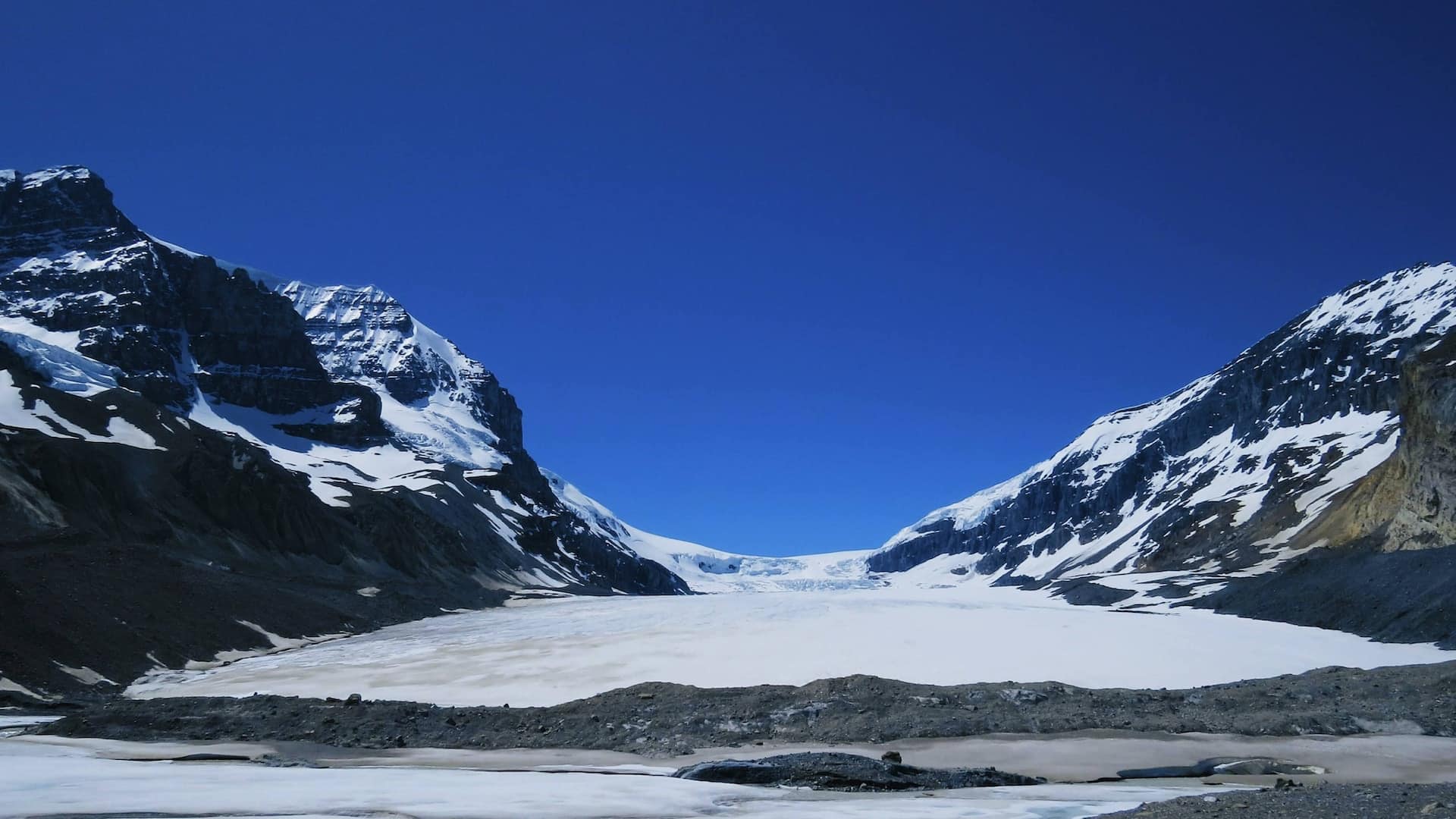
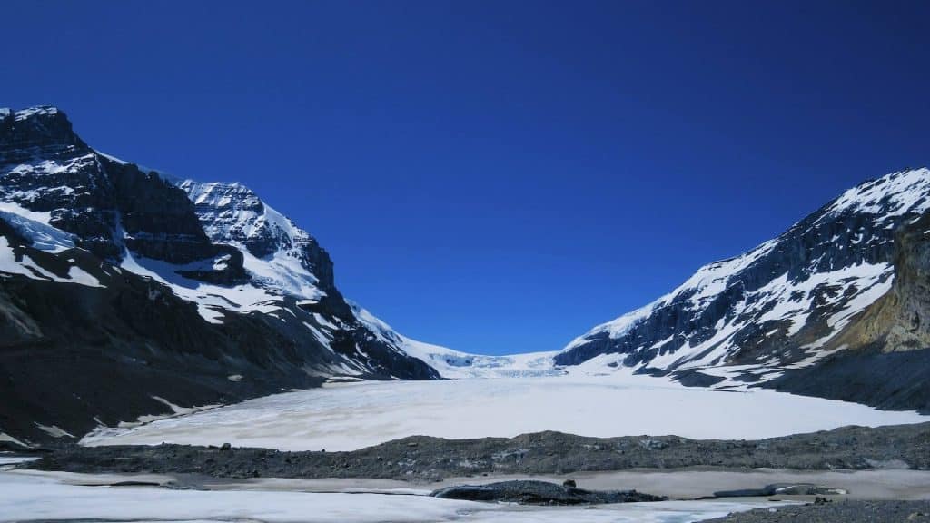
The Athabasca Glacier is a popular glacier located in the Canadian Rockies of Alberta, Canada. It is one of the six principal ‘toes’ of the Columbia Icefield, which is located within the boundaries of Jasper National Park. Visiting is a “must do” when driving along the Icefields Parkway.
The Athabasca Glacier is approximately 3.7 miles (6 km) long, and has an area of around 2.3 square miles.
The glacier is part of the vast icefield that feeds several glaciers in the region. It is fed by snowfall in the surrounding mountains, which accumulates and compresses over time to form ice. As the ice moves downslope, it creates a slow-moving river of ice known as a glacier.
Due to its accessibility and popularity, the Athabasca Glacier is one of the most visited glaciers in North America.
Over the years, the Athabasca Glacier, like many glaciers worldwide, has been impacted by climate change. It has been retreating at a rapid pace, losing about 16 feet of depth each year. It has also lost almost a full mile of length and over half of its volume in the past 125 years. Some estimates say that the glacier will be completely gone by 2058.
Getting to the Athabasca Glacier
The Athabasca Glacier is located about an hour’s drive south (65 miles) of the main Jasper Park Visitors Center, along Highway 93.
However, the glacier is only a few minutes’ walk from the Jasper National Park Icefield Information Centre, which has ample parking. There are closer gravel parking lots to the glacier’s trailheads, but in a pinch, parking at the information center and walking a little more is an option.
Information Centre Address: AB-93, Jasper, AB T0E 1E0, Canada
Additionally, guided tours to explore and experience the glacier up close are also available. These tours often involve riding in specialized vehicles known as “ice explorers” that can traverse the icy terrain. The tour costs about $85 per person, and includes a walk on the Columbia Icefield Skywalk.
Parking at the Athabasca Glacier
Between November and May, Glacier Road is closed. Glacier Road is the main public road to the toe of the glacier. In the winter, there is a parking lot at the winter trailhead (about 500 feet after you turn off Icefields Parkway), with room for about 2 dozen vehicles. In the summer, you can drive about a half mile to a closer parking lot at the termination of Glacier Road. Driving to this closer spot will save you about 1 mile round trip in hiking. Both parking lots are free to park at.
Snocoach Road runs to the south of the glacier, and is also closed in the winter. However, it does not appear to be open to the public, and is primarily used for the guided tour vehicles.
The Athabasca Glacier Trail
| Distance (Winter Trail) | 1.9 miles |
| Distance (Summer Trail) | 0.9 miles |
| Route Type | Out-and-Back |
| Difficulty | Easy |
If you park closer to the Icefields Parkway (which you have to do in the winter), then you’ll start out on the Athabasca Glacier Forefields Trail (1 miles, round trip). After about half a mile, you’ll reach the start of the Toe of the Glacier Athabasca Trail (0.9 mile round trip), which starts at what I call the “summer trailhead”.
The path itself is not fancy. It is a gravel trail through wide-open terrain. Most of the hike, you can see the glacier off into the distance, with it getting closer to you with each step. The trail is a slight incline the whole way until the end.
The hike itself is fairly easy and fast (especially if you are here in the summer and able to drive to the top parking lot). You won’t be able to actually get onto the glacier without paying for the guided tour, but will be able to get close enough to take in its awesome view. At the end of the trail you’ll see a roped off area preventing you from getting any closer, unless you’re on a paid tour, of course.
Due to the elevation (max of 6,492 feet), expect the wind to be chilly to downright frigid depending on the season.
