Driving the Mount Rose Highway into Tahoe
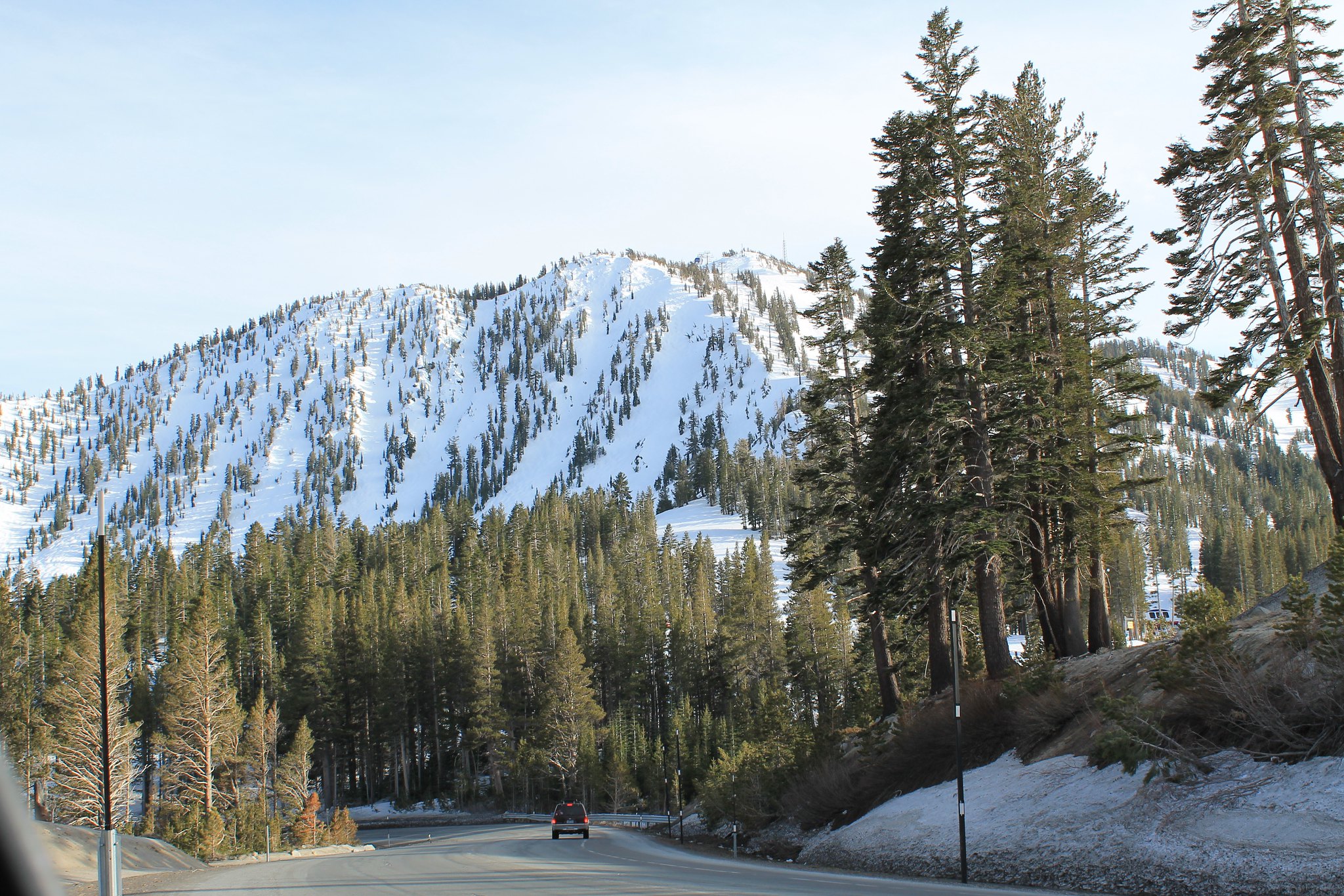
The Mount Rose Highway, also known as Nevada State Route 431, is a scenic mountain road located in the state of Nevada, United States. It stretches from just south of Reno to Incline Village in northern Lake Tahoe. It stretches a distance of just over 24 miles. The highway is named after Mount Rose, the highest peak in the Carson Range of the Sierra Nevada Mountains.
History of the Mount Rose Highway
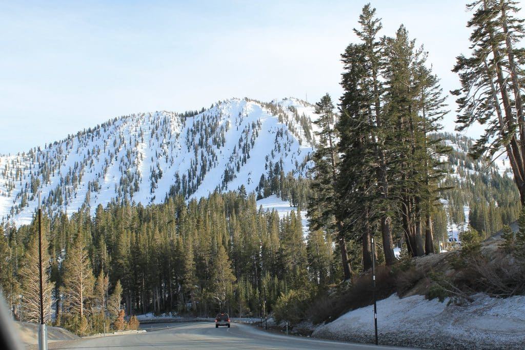
The road has existed at least as far back as 1950 as the access road to the ski slopes of Mount Rose. At the time, it was a dirt road only passable in the summer months. Skiers would drive into the mountains as far as the road would take them, then hike their way to the summit of what would become the Mt. Rose Ski Resort.
As the years marched on, the old SR 431 continued to be improved, allowing winter travel to higher elevations, and thus, more ski terrain.
Mount Rose Highway was designated as a Nevada Scenic Byway by the Nevada Department of Transportation on June 27, 1996.
Getting to the Mount Rose Highway
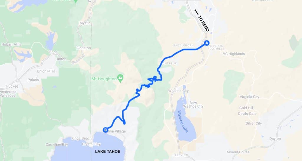
Driving the Mount Rose Highway
| Driving Distance | 24.4 miles (39.3 km) |
| Estimated Driving Time | 35 minutes |
| Max Elevation | 8,911 feet |
The Mount Rose Highway is only 24 miles long, which will take around a half hour to drive straight through. However, you should never do that. There is simply too much to see on this road to just fly by everything. Plan on this drive taking about an hour with a few stops, or up to 3-4 hours with a hike or two mixed in.
The highway starts at a junction with US 395 (Alt), and SR 341, which itself continues towards Virginia City, NV. The highway ascends to 8,911 feet, the highest point open year-round in the Sierra Nevada Mountain Range. On either side of Mt. Rose, there are numerous hairpin turns, and serpentine bends along the way. The highway ends along the northeast shore of Lake Tahoe in the city of Incline Village, at an intersection with SR 28.
Winter Conditions on the Highway
In the winter, the highway can be a bit treacherous. The Lake Tahoe region regularly gets over 400 inches of snowfall a year, and Mount Rose typically exceeds that. You can check for current road conditions on Nevada 511.
Luckily, the Mount Rose Highway needs to stay open during heavy snowfall, as there are two ski resorts directly on the road: Mount Rose and Diamond Peak.
Hiking Trails Along the Mt. Rose Highway
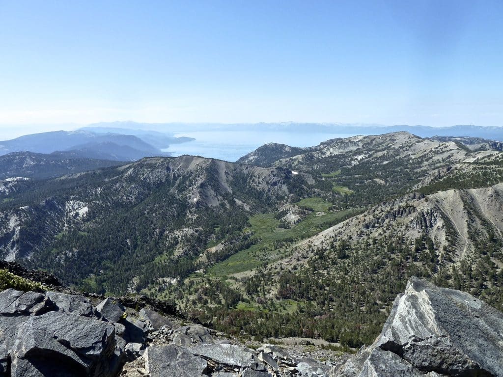
In addition to providing access to the two ski resorts located along it’s route, the Mt. Rose Highway also reaches into the Mount Rose Wilderness Area, which is a designated protected area within the Toiyabe National Forest. It is here where many great hikes can be accessed via trailheads located along the Mt. Rose Highway. Here are some of the more popular trails along the highway.
Mount Rose Summit Trail (10.7 miles, Difficult): This trail is one of the most popular in the region and offers a challenging yet rewarding hike to the summit of Mount Rose. The trailhead is located near the Mount Rose Summit parking area and ascends approximately 2,000 feet in elevation, providing stunning panoramic views of Lake Tahoe and the surrounding area.
Tahoe Meadows Interpretive Loop (1.3 miles, Easy): Located near the Mount Rose Summit, this easy, family-friendly loop trail is wheelchair accessible and features interpretive signs highlighting the unique flora and fauna of the area. It’s a great option for a leisurely stroll or a picnic in a beautiful alpine meadow setting.
Galena Falls Trail (4.7 mile, Moderate): Starting near the Galena Creek Visitor Center off the Mount Rose Highway, this trail leads to the scenic Galena Falls. The hike offers beautiful forest scenery, a cascading waterfall, and is of moderate difficulty, making it a popular choice for hikers of various skill levels.
Jones Creek and Whites Creek Loop (10 miles, Difficult): In the Mount Rose Wilderness Area, this trail loop can be accessed from the Galena Creek Regional Park. It offers a scenic and moderately challenging hike through dense forests, crossing creeks and offering picturesque views of the surrounding mountains.
Tahoe Rim Trail (169 miles, Varying): While not directly accessed from the Mount Rose Highway, the Tahoe Rim Trail intersects with the scenic byway at several points, providing opportunities for longer backpacking adventures or day hikes. This iconic trail circumnavigates the entire Lake Tahoe basin and offers breathtaking vistas, alpine lakes, and diverse ecosystems.
