Where to Find All the Glaciers in the US National Parks
There are nine states with glaciers residing within them. Alaska has the most, but others can be found in Washington, Oregon, California, Montana, Wyoming, Colorado, Utah, and Nevada as well.
It is a common misconception that Glacier National Park is the best place to see an active glacier in the contiguous United States (i.e. The Lower 48). In fact, Much more accessible glaciers actually are in the state of Washington, flanking Mount Rainier as well numerous mountains in the North Cascades.
What are Glaciers?
Glaciers form where more snow falls than what melts over a period of years. It then compacts into ice over time, and becomes thick and heavy enough to begin to move. A snow patch becomes a glacier when the deepest layers begin to deform due to the weight of the overlying snow and ice.
Glaciers move by internal deformation of the ice, and by sliding over the rocks and sediments at the base. Internal deformation occurs when the weight and mass of a glacier causes it to spread out due to gravity. Sliding occurs when the glacier slides on a thin layer of water at the bottom of the glacier. Some glaciers move exceptionally faster than you might think. For instance, Peters Glacier in Denali National Park has moved as fast as 150 feet a day.
What Colors are Glaciers?
Glacial ice often appears blue when it has become very dense. Years of compression gradually make the ice more and more dense over time, forcing out the tiny air pockets between ice crystals. When glacier ice becomes extremely dense, the ice absorbs all other colors in the spectrum and reflects primarily blue, which is what we then see. When glacier ice is white, that usually means that there are many tiny air bubbles still in the ice, and that the glacier is still “young”.
How Thick are Glaciers?
This is open to debate. Since glaciers are constantly shifting and likely vary a good bit, a good way to estimate is by taking about one-half of the surface width of the glacier. Although few glaciers have been measured, the measured thicknesses range from a few tens of meters for small glaciers to about 1,500 meters for the largest glaciers in Alaska.
How Much Water do Glaciers Hold?
Glaciers around the world store about 69% of Earth’s total amount of freshwater. If all glacier ice melted, the seas would rise about 230 feet, or 70 meters. This would put American cities like Miami, New Orleans, San Francisco, New York and Boston would be completely underwater. Entire states would be gone as well, including Delaware, New Jersey, and Florida.
Glaciers in the United States
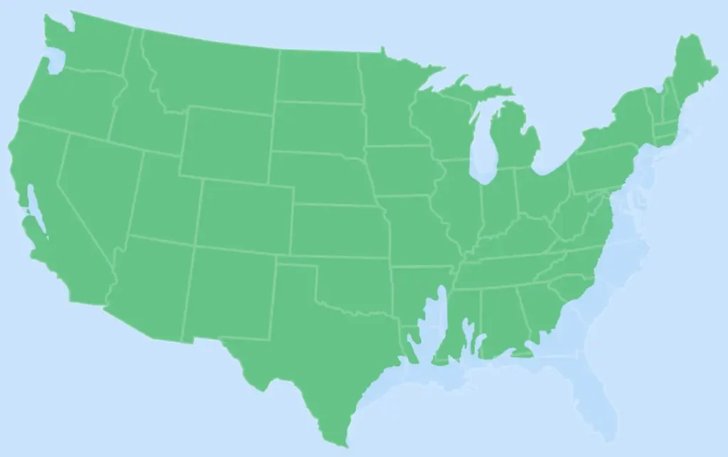
The United States currently has over 110,000 glaciers. The Contiguous US, or Lower 48, have about 10,000 of these. Most are not named, and Alaska has the most of all the states. Glaciers once covered the majority of the mountain ranges in the American West and beyond, but today there are just not enough places where the climate is cold and wet enough to support them anymore.
Canada has glaciers in Alberta, British Columbia, Yukon Territory, and Nunavut.
So let’s look at each state, how many glaciers it has, and how accessible they are to see.
Alaska
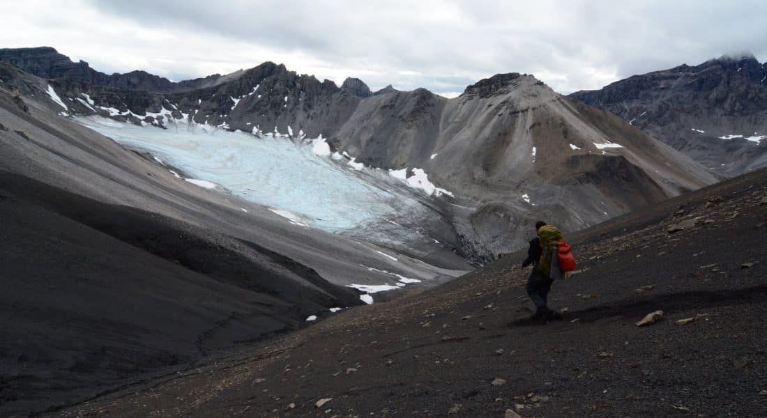
Count: 100,000, but only about 600 are named
Coverage Area: 22 million acres (90,000 km2)
Locations: Mostly Middle-to-Southern Alaska. This includes 6 national parks (Katmai, Lake Clark, Kenai Fjords, Denali, Wrangell St. Elias and Glacier Bay)
There are approximately 664 named glaciers in Alaska according to the Geographic Names Information System (GNIS). North America’s longest glacier is the Bering Glacier in Alaska, measuring 127 miles (204 kilometers) long.
Wrangell St. Elias National Park is home to North America’s largest piedmont glacier, Malaspina Glacier, which is a type of glacier formed at the base of a mountain. The nation’s largest park also boasts the longest valley glacier, Nabesna Glacier, which is about 80 miles long.
In Alaska, 95 percent of glaciers are retreating. That means just a few glaciers are stable or actually advancing, the largest of which is the Hubbard Glacier, also located in Wrangell St. Elias NP.
Where to See Alaskan Glaciers
The Mendenhall Glacier in Juneau is managed by the US Forest Service, and is one of the most accessible glaciers in North America. While you can’t hike onto the glacier without a guide, there are many trails and viewpoints that offer easy close-up views of it.
Our Kenai Fjords and Denali road trip offers unlimited views of Exit Glacier in Kenai. Up in Denali National Park – which has one-sixth of its area covered in glaciers – has over 40 named glaciers that are visible via many hikes.
As mentioned above, 6 of the national parks in Alaska have glaciers. The others include Katmai, Lake Clark, Wrangell St. Elias and Glacier Bay.
Washington
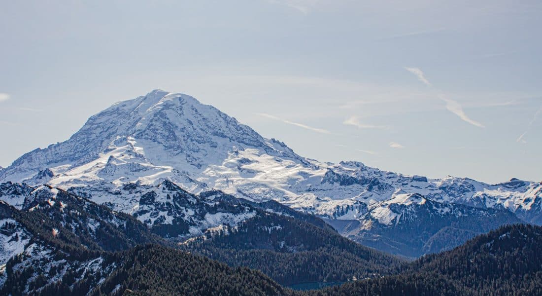
Count: 3,101, but only 186 are named
Coverage Area: 136,000 acres (451 km2)
Locations: Olympic National Park, North Cascades, Mount Rainier, and the Cascades immediately below Rainier.
Washington is the second most glaciated state in the US, second only to Alaska. The North Cascades National Park has over 300 glaciers and countless snowfields contained within its boundary. This area is the most heavily glaciated area in the United States outside of Alaska. Unfortunately, as with many glaciers, the ones within the North Cascades are disappearing at an alarming rate, as most have shrunk dramatically over the last century.
There are 25 major glaciers on Mount Rainier and numerous unnamed snow or ice patches, which cover about 35 square miles of the mountainside. The Emmons Glacier has the largest area on Rainier, and the Carbon Glacier has the lowest terminus altitude (3,600 feet) of all glaciers in the contiguous 48 states.
Where to See Washington Glaciers
For the best views of glaciers in the North Cascades National Park, day hike the Cascade Pass and Sahale Arm Trail, which offer up-close views of the Sahale Glacier.
For the best views of Emmons Glacier, hike the 7-mile round trip, moderate-level Glacier basin trail inside the Mount Rainier National Park.
California
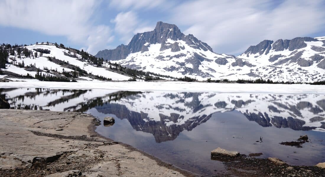
Count: 1,788, but only 20 are named
Coverage Area: 11,400 acres (46.2 km2)
Locations: Sierra Nevada Mountain Range, Trinity Alps, and the Northern Cascade Range including Mount Shasta
The Whitney Glacier, located on the north side of Mount Shasta, is the longest glacier in California. There are several small glaciers located in basins on the north sides of Thompson Peak and Caesar Peak (which make up what is called the Trinity Alps).
The Palisade Glacier is the largest glacier in the Sierra Nevada Range, located in east-central California.
Where to See Californian Glaciers
The Lyell and Maclure glaciers are located in Yosemite National Park. The Lyell glacier is probably the easiest to reach out of the two, but it still takes over a 25-mile hike near Lee Vining, CA.
The Palisade Glacier is located near the boundary of Kings Canyon National Park and the John Muir Wilderness. Several trails crisscross the landscape, including Bishop Pass, Taboose Pass, Kearsarge Pass, and Sawmill Pass.
Sequoia National Park has parts of Sierra Nevada glaciers in its south corner.
Wyoming
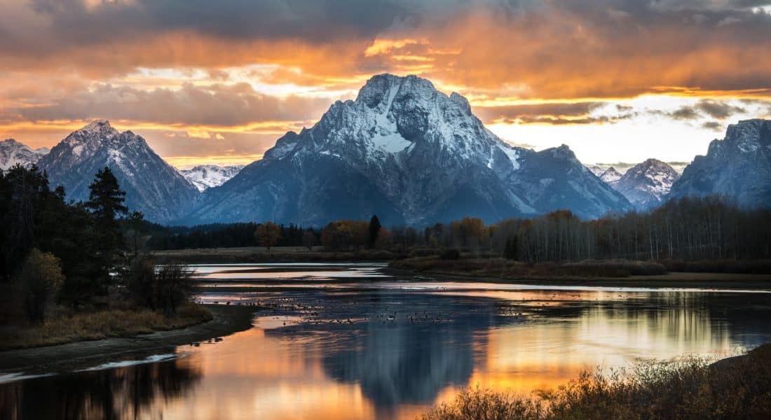
Count: 1,477 with 38 of them named
Coverage Area: 18,100 acres (73.3 km2)
Locations: Grand Teton National Park, Wind River Range, Absaroka Range, Bighorn Mountains
The western two thirds of Wyoming is covered mostly with the mountain ranges and rangelands in the foothills of the Eastern Rocky Mountains, which is where all of the state’s glaciers exist.
Graand Teton has 11 glaciers located within Grand Teton National Park, but many have lost so much ice volume that they’ve stopped flowing and are no longer considered active glaciers.
Where to see Wyoming Glaciers
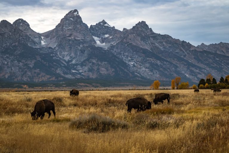
Teton Glacier is a mountain glacier located below the north face of Grand Teton in Grand Teton National Park, and can be seen from the Teton Glacier Turnout on the park’s main road. View Falling Ice Glacier from the Mount Moran turnout and Skillet Glacier from Colter Bay area.
Yellowstone National Park was shaped by glaciers millions of years ago, but no glaciers currently exist inside the park. The closest you can get to a glacier in Yellowstone is viewing, Mammoth Springs and the Geyser Basins which show evidence of past glaciers.
Montana
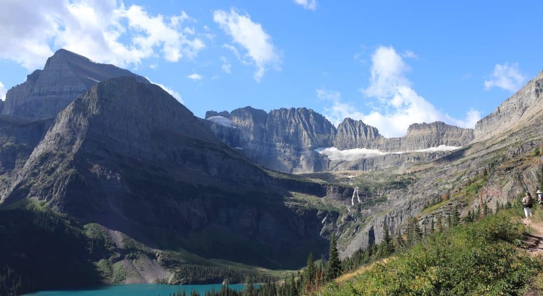
Count: 1,160, with only 62 officially named
Coverage Area: 17,000 acres (68.6 km2)
Locations: Lewis Range (Glacier National Park), Cabinet Mountains, Mission Swan-Flathead Ranges, Madison Range, Crazy Mountains, Beartooth Mountains/Absaroka Range
Glacier National Park, which a century ago was home to 150 glaciers, could see its last glaciers disappear within the next 15 years. In 1910, the park had over 100 glaciers, but by 2015 only 26 met the size criteria to be designated as active glaciers.
There are other glaciers located around Montana, but the most easily seen and accessible are within their namesake national park along its northern border with Canada.
Where to see Glaciers in Glacier National Park
Jackson Glacier is the easiest glacier to see in Glacier National Park, and it is the 7th largest in the park. It is visible from Jackson Glacier Overlook on the east side of Going-to-the-Sun Road, and is 5 miles east of Logan Pass.
The Grinnell Glacier is visible only after a challenging day hike from the Many Glacier area. The hike is about 5 miles one way, and has 1,600 feet of elevation gain. However, on your way to the Many Glacier area, you’ll be able to see the Salamander Glacier which be viewed from your car near the park’s entrance station.
The Sperry Glacier is accessible via a very challenging 8.5 mile/5,000 ft elevation gain one-way hike from the Lake McDonald Lodge. To simply lay eyes on this glacier, you can instead take a much easier 3-mile round trip hike from Logan Pass. You’ll find yourself quite a distance away from it, and binoculars may be needed to see it well.
Piegan Glacier is best viewed from a difficult 7 mile round trip hike from the Siyeh Bend Trailhead via Preston Park.
Sexton Glacier is viewed from an extremely challenging hike that that’s at the Siyeh Pass Trail and works its way over almost 6,000 feet of elevation changes.
The Vulture and Two Ocean Glaciers are best viewed (again, with binoculars) from the Logan Pass and the Highline Trail. The hike covers 4 miles of up and down elevation changes totaling over 1,300 feet. These are the two most remote and difficult-to-see glaciers in the park.
Oregon
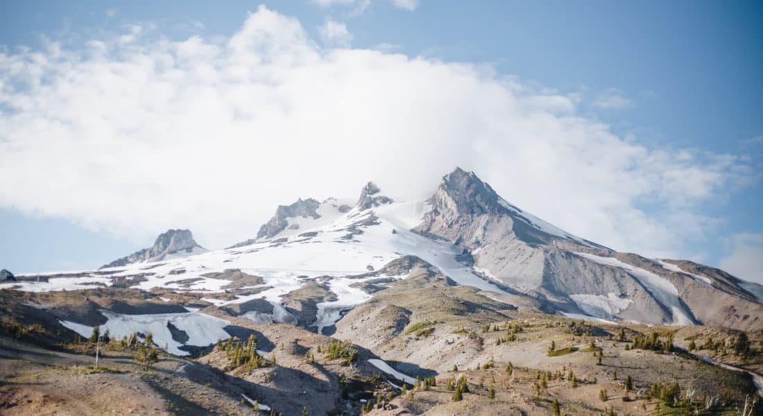
Count: 467, with only 35 officially named
Coverage Area: 10,600 acres (42.9 km2)
Locations: Wallowa Mountains, the Cascade Range including Mount Hood, Mount Thielsen, Three Sisters, Mount Jefferson
There are no glaciers located within Crater Lake National Park, the only officially designated nation park in Oregon. However, Mount Hood National Recreation Area offers plenty of glaciers to look at.
Where to See Oregon Glaciers
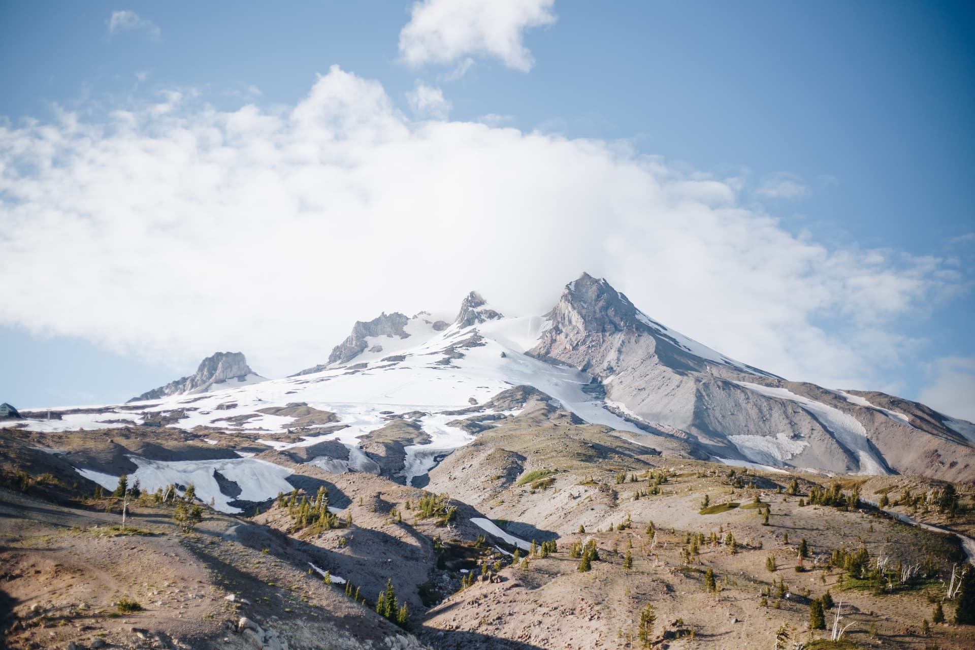
The Cloud Cap Trailhead is a 3 mile round trip hike that provides views of Eliot Glacier on Mount Hood’s northeastern slope. Eliot is Mt. Hood’s largest glacier. Another trek to this glacier is the Glacier View Trail that starts near Parkdale, OR. This popular trail is about 7 miles round trip, and is considered a difficult trail to hike.
Colorado
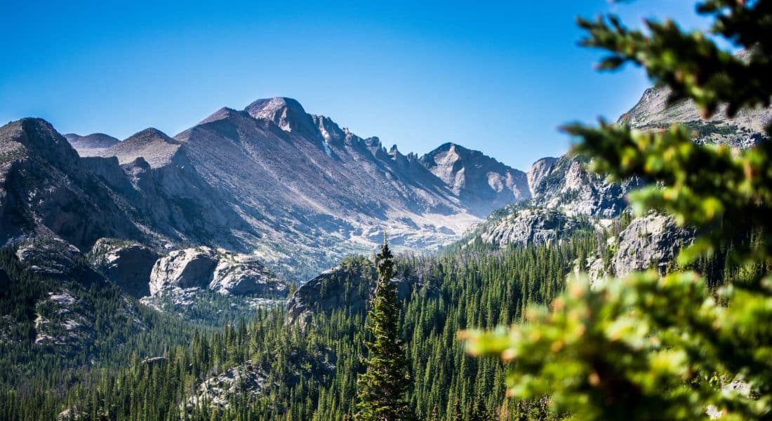
Count: 141, with only 14 of them named
Coverage Area: 1,200 acres (4.8 km2)
Locations: San Miguel Mountains, Sawtooth Range, Gore Range, Tenmile Range, Front Range, Medicine Bow, Park Range
Where to see Glaciers in Colorado
All 14 named small glaciers in Colorado are in the Front Range, located in the Rocky Mountain National Park. It is very easy to catch glimpses of these glaciers from many vantage points within the park.
Andrews Glacier is high up in a more secluded area of Rocky Mountain National Park. It takes a strenuous, almost 10 mile hike heading towards Sky Pond for those who are up for the challenge.
Longs Peak has one remaining glacier named Mills Glacier at the base of the eastern face of the mountain. To view this glacier, hike towards Chasm Lake, which is about 4 miles in length, and gains about 2,400 feet in elevation along the way.
There are 4 bodies of ice and permasnow areas located in the San Miguel Mountains, about equidistant between the Mesa Verde and Black Canyon of the Gunnison National Parks. The rugged San Miguel peaks are among the highest and most difficult to climb in Colorado.
Nevada
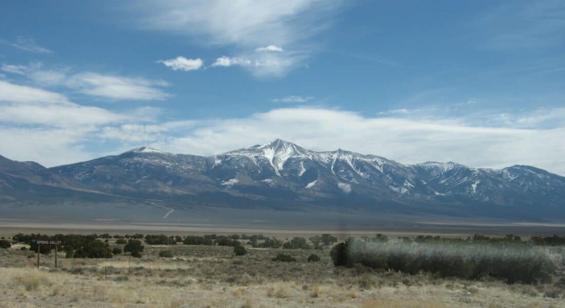
Count: 1
Coverage Area: 24 acres (0.1 km2)
Locations: Great Basin National Park
Wheeler Peak Rock Glacier, located in Great Basin National Park is the only glacier in Nevada. The Wheeler Peak Rock Glacier can be seen from several locations in the park. The Wheeler Peak Overlook on the Wheeler Peak Scenic Drive is the only vantage point from the road. The Bristlecone/Glacier Trail (4.6 miles roundtrip) will take you to the foot of the glacier.
Utah
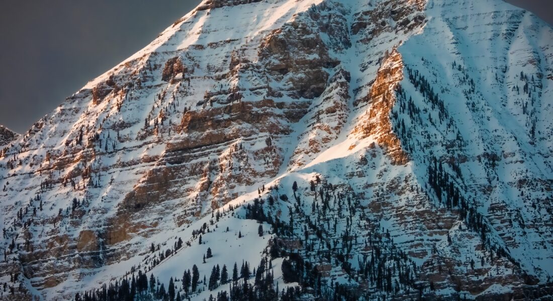
Count: 1
Coverage Area: 20 acres (0.1 km2)
Locations: Wasatch Mountain Range
Utah’s Timpanogos Glacier is now a rock glacier (in which the ice is hidden by rocks). It is located in the Wasatch Range in the Mount Timpanogos Wilderness, 50 miles south of Salt Lake City. It is the last known glacier in Utah, and is located on the north face of Mount Timpanogos.
Idaho
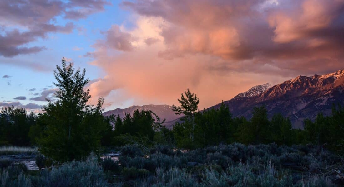
Count: 213 permanently snow covered areas, but 0 glaciers
Coverage Area: 643 acres (2.6 km2)
Locations: Seven Devils Mountains, Sawtooth Range
It is doubtful that any true glaciers remain in Idaho. While perennial snowfields and periglacial features such as rock glaciers can be found in several ranges in the central part of the state, none officially meet the requirements to be called a glacier.
Idaho’s Otto Glacier on Borah Peak has melted away. Located in the Lost River Mountain range, Otto Glacier was discovered in 1975, but was completely melted away by 1990.
