Driving Along Sedona’s Red Rock Scenic Byway
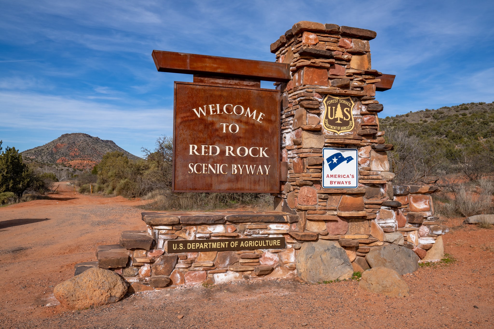
The Red Rock Scenic Byway, also known as State Route 179, is a picturesque road located just south of Sedona, Arizona. It is short – as it only stretches 15 miles between Sedona and the Interstate 17 interchange.
The Red Rock Scenic Byway is renowned for its stunning natural beauty, as it winds through the iconic iron-infused rock formations and desert landscapes of Sedona and the Coconino National Forest.
For what its worth, Sedona in my opinion, is one of the most beautiful places in the world. We’ve chronicled it plenty of times here before, from the popular Fay Canyon Trail to my trip through to the Grand Canyon.
The byway’s route offers breathtaking views of towering red sandstone cliffs, rugged canyons, and vibrant red rock formations, such as Cathedral Rock, Bell Rock, and Courthouse Butte. These formations make up the southwest edge of the Colorado Plateau.
Along the byway, visitors can stop at various viewpoints and pullouts to admire the scenery that is so striking, with the red rocks set behind a canopy of lush green foliage. The area is also home to several hiking trails that allow travelers to explore the red rock formations up close and experience the unique desert environment.
The Red Rock Scenic Byway is considered one of the most scenic drives in Arizona and is designated as an All-American Road, the highest recognition given by the National Scenic Byways Program.
Getting on the Red Rock Scenic Byway
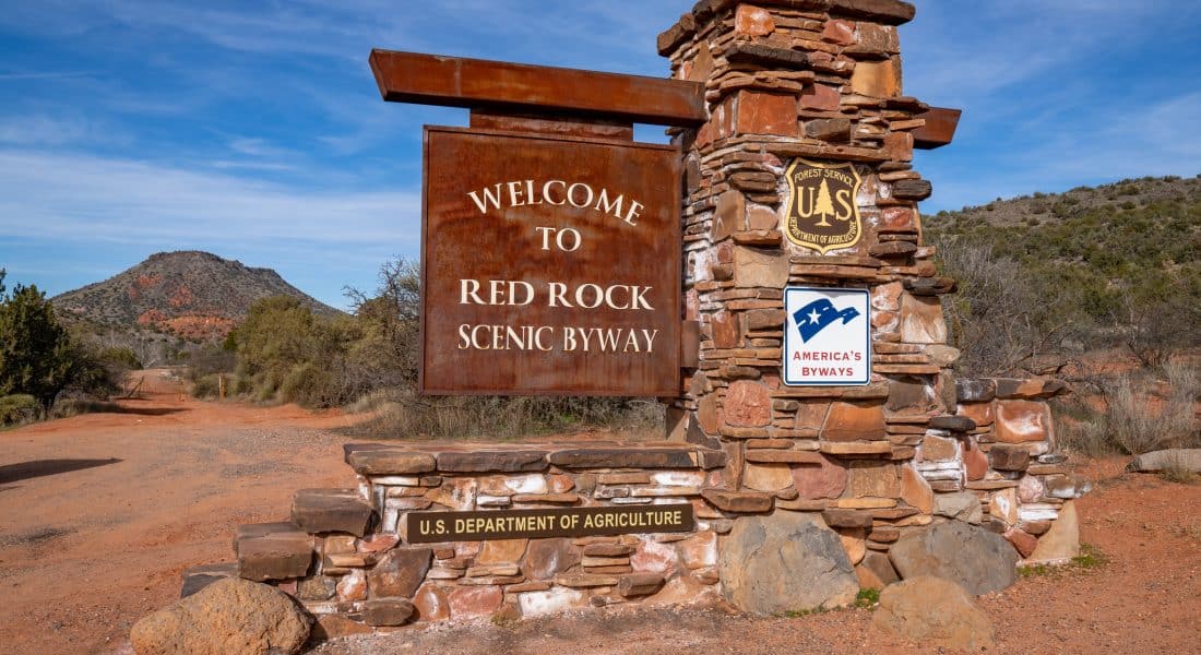
The scenic byway starts in Sedona, where Highway 179 dead-ends into Highway 89A (34.866068, -111.763487). It then meanders its way down 179 until it reaches Interstate 17, which is 15 miles away.
Driving the Red Rock Scenic Byway
Here is the Red Rock Scenic Byway map. Unlike many other scenic drives in the US, this one is short and only stays on one road, Arizona Highway 179.
The full drive lasts only about 20 minutes. While this scenic byway is short, it surprisingly packs a ton into such a short span.
Probably the most well-known of all the spots is the Chapel of the Holy Cross, which is about 3 miles down the route. It is an amazing architecture marvel built into the hillside. It is a short but steep hike up to the Chapel itself from the road, but the views from the circling walkway are fantastic due to their elevation.
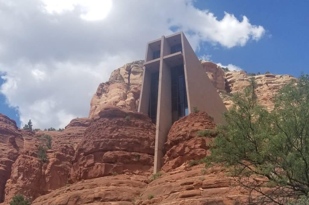
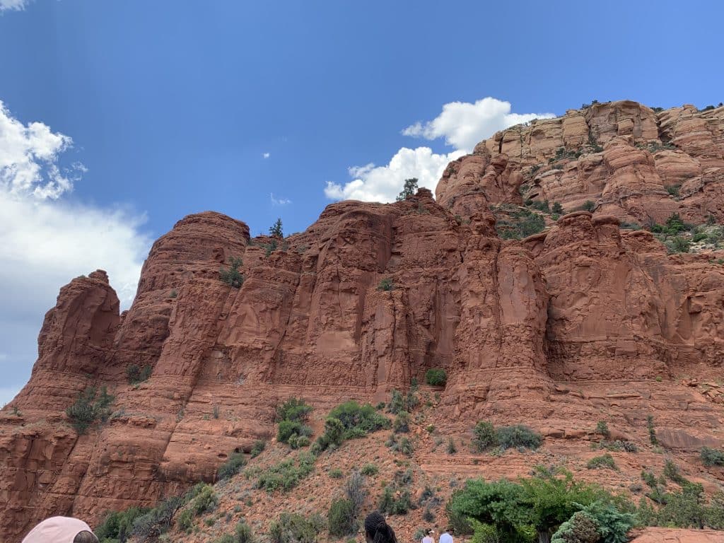
Once you get back on AZ-179, You’ll next come across a few fantastic hikes.
The Little Horse Trail is a moderate 4.3-mile out-and-back trail that gets up close to many of the rock formations that the byway follows alongside. Due to its length, expect a little less people on this trail. A little further down is the Bell Rock Pathway Trail is a 2.8-mile out and back trail with views of Bell Rock and Courthouse Butte. This trail is mostly easy, but it does have a few steeper climbs as you come close to the Bell Rock summit. Both of these trails and the others in the area require either a Red Rock Pass or a National Park America the Beautiful Pass to park at.
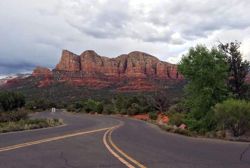
If you didn’t take the Bell Rock Trail, then now is your chance to see the formation up close at the Bell Rock Vista. This is the point where the trail ends, and there is ample parking to see this iconic rock up close. There are other trailheads at the parking area as well, including the Phone Trail (10 miles, 1,377 ft elevation change, Out & Back) and access to the Courthouse Butte Loop Trail. This area is wide open and devoid of all man-made structures.
After the Vista, you’ll drive through the Village of Oak Creek. This small town is full of small shops, restaurants, cafés, and a few hotels.
At this point, the scenic byway is coming to an end. The only other stop along the way here is the trailhead for the challenging Kel Fox Trail (7 miles, 1,325 ft elevation change, Out & Back). Shortly after that stop, AZ-179 will come to an end, and you can either merge onto I-17, or continue forward onto a Forestry Service Road, which takes you to the Montezuma Castle National Monument.
However, for us, we merged onto I-17 north, towards Flagstaff to continue on our way to the Grand Canyon.
